

Twin Falls Trail.
Twin Falls Trail is a very short walk of just 0.1 miles, likely serving as a quick spur or viewpoint access rather than a standalone hike. Given the name and brevity, it probably leads to a waterfall observation point from a nearby parking area or longer trail junction. Expect minimal elevation change and a path suitable for most visitors willing to step off the road.
- Leg-stretcherShort and nearly flat — an hour or less
- Peak foliage window — color starts up high and works down the valleys through mid-October.
Seasonal pattern for this trail · tops out ~971 ft · live closures appear above
- GroundSurface
Read the line before you walk it.
What the trailhead is doing today.
Where the hike begins.
If you’re already out here.
Tupper Lake.
The corner of the Park this trail calls home — its hamlets, waters, lodging, and the rest of its field record.
Read the Region→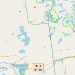
Make a weekend of it.
Closest editorial picks for a meal, a scoop, a pint, a bed, and a sight worth your time.
Add to the record.
Free, takes thirty seconds. Yours forever.
Every page on this site gets better when readers contribute. Mark a peak you’ve climbed, drop a photo, file a field note, or flag a correction — every addition makes the next visitor’s page better.
File a report.
Trail conditions, water level, bug pressure, blowdown. The kind of detail that helps the next person plan.
Write a field note →Spot something off?
Wrong elevation, outdated access notes, a coordinate that's drifted. We'd rather hear it than miss it.
Suggest an edit →


Frequently asked.
- How long is the Twin Falls Trail?The Twin Falls Trail is approximately 0.08 miles (0.1 kilometers) — a short out-and-back suitable for most fitness levels.