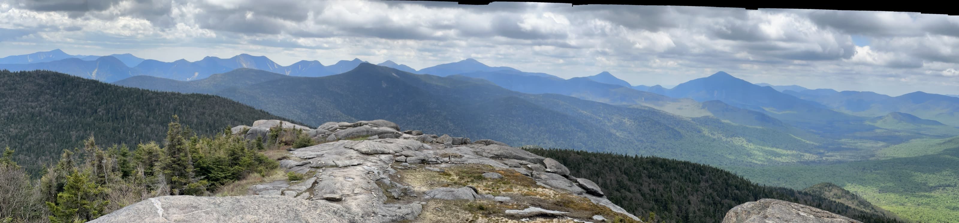
46 peaks above 4,000 feet. 40 officially named by old men with barometers, 6 later measured shy. All 46 still required by tradition. The Adirondack Mountain Club's roster has surpassed 15,000 climbers since 1925. This is the full list — tallest to least.

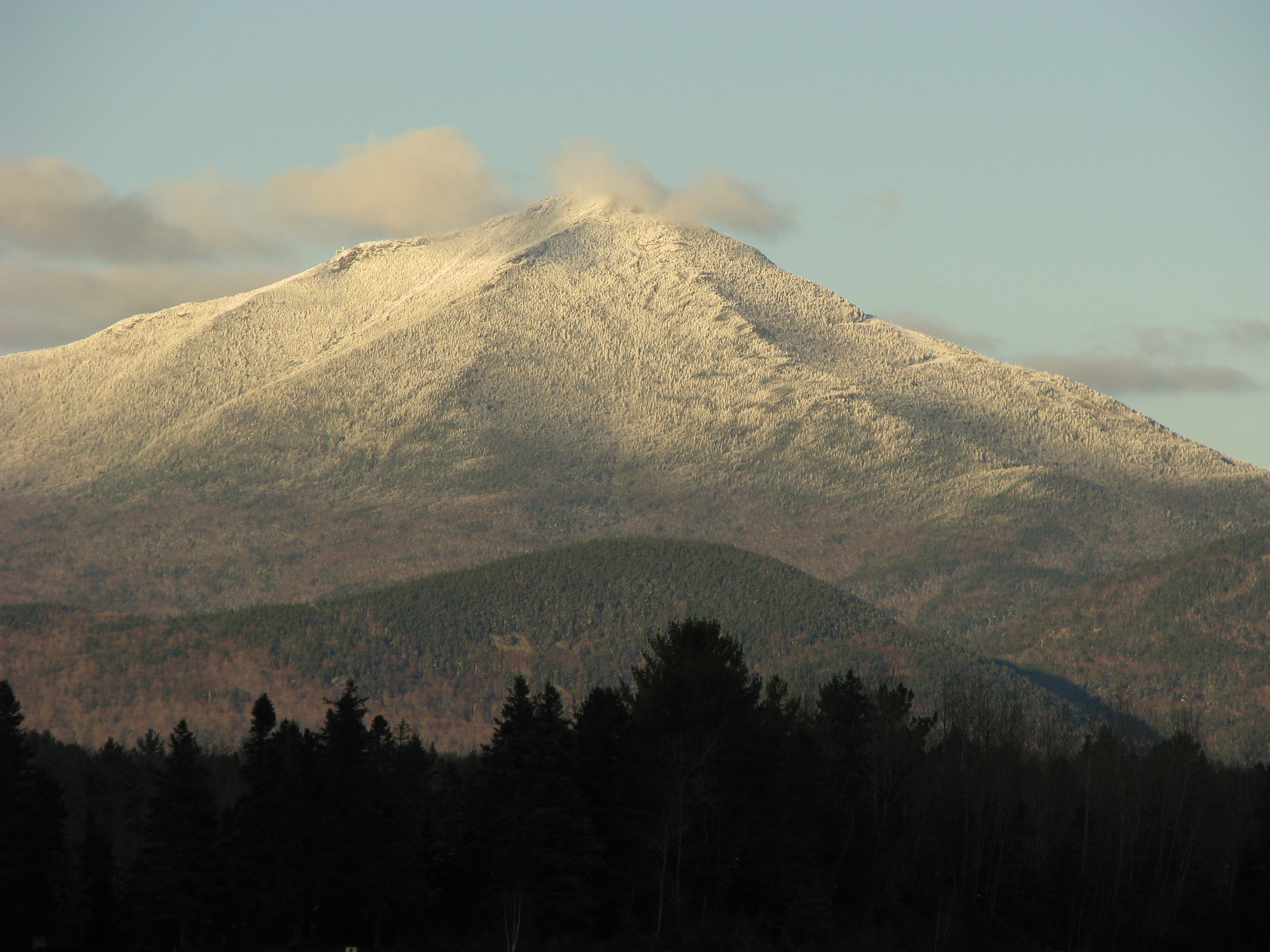
The highest point in New York State. Tahawus — 'Cloud-Splitter' — in Mohawk.
Second-tallest peak, alpine summit in the MacIntyre Range.
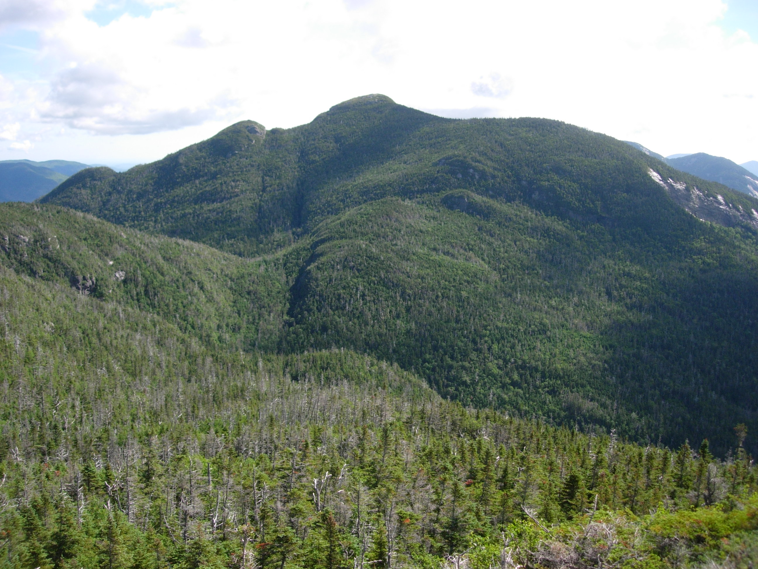
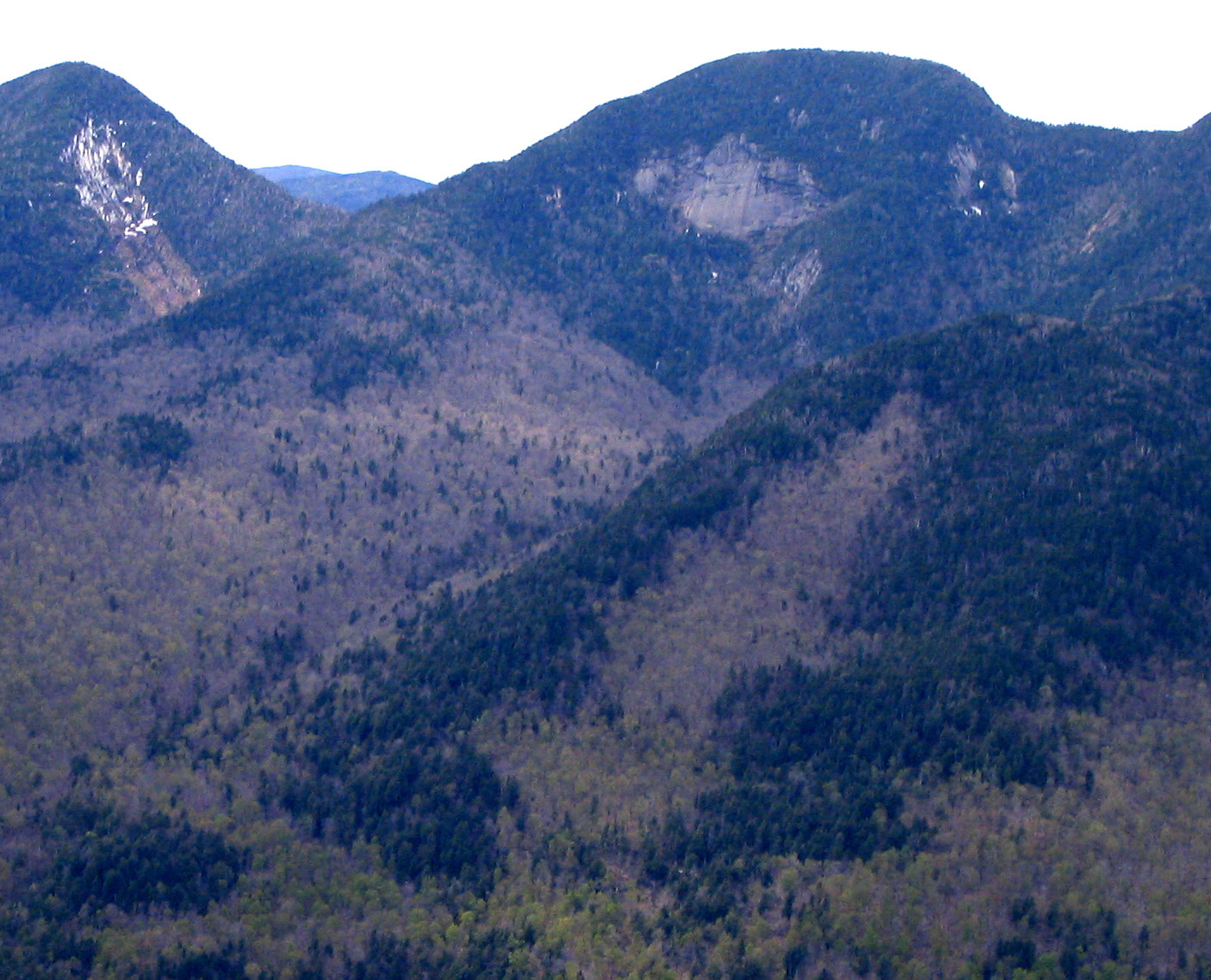
Remote, exposed, and among the most beloved summits in the Great Range.

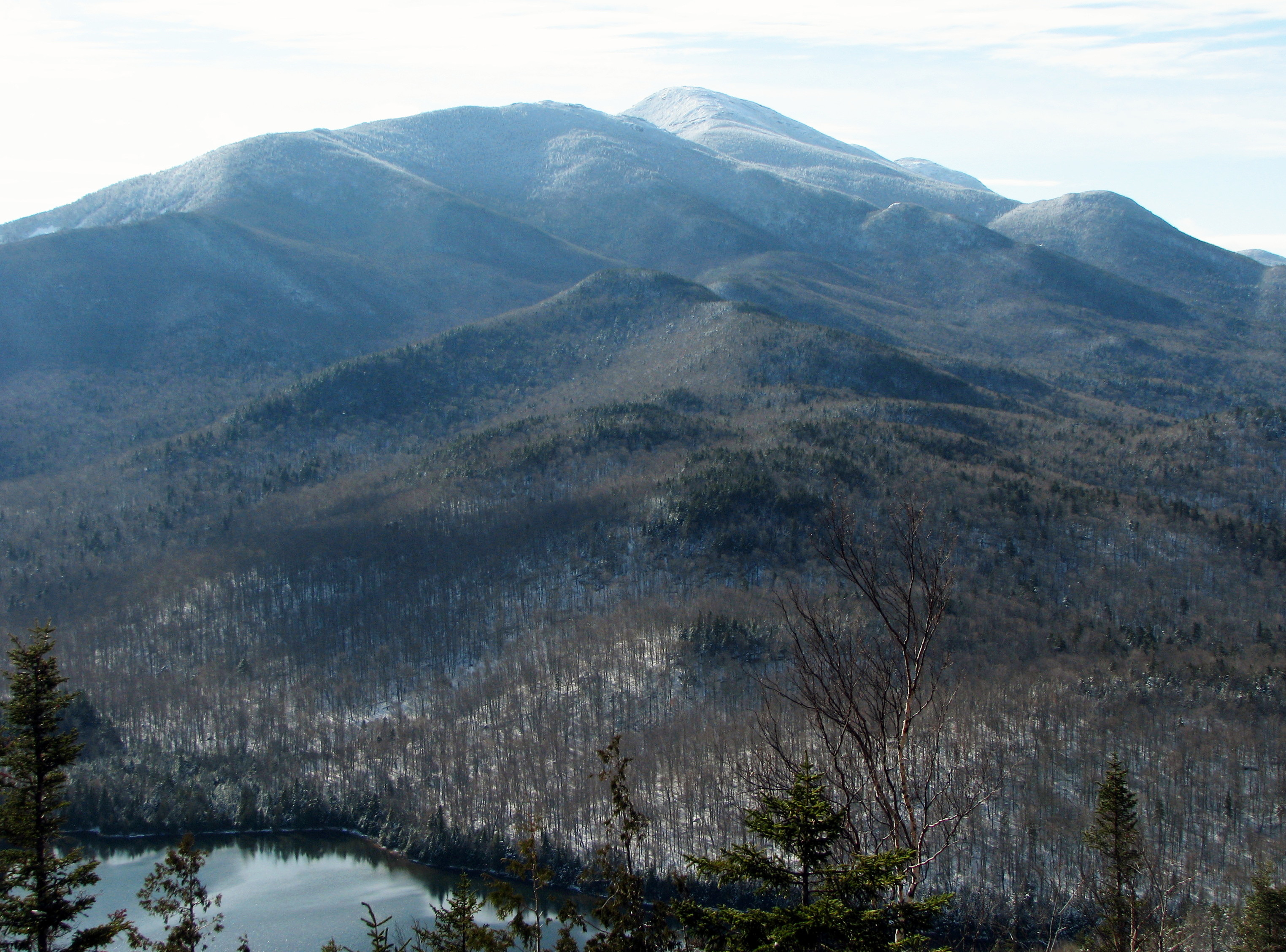
Mount Skylight stands at 4,926 feet — the fourth-highest of the 46 High Peaks. Most climbers reach it via a 17-mile round-trip from Adirondak Loj, often linking it with Gray Peak or Marcy; exposed upper slopes give wide views but offer no shelter from weather.
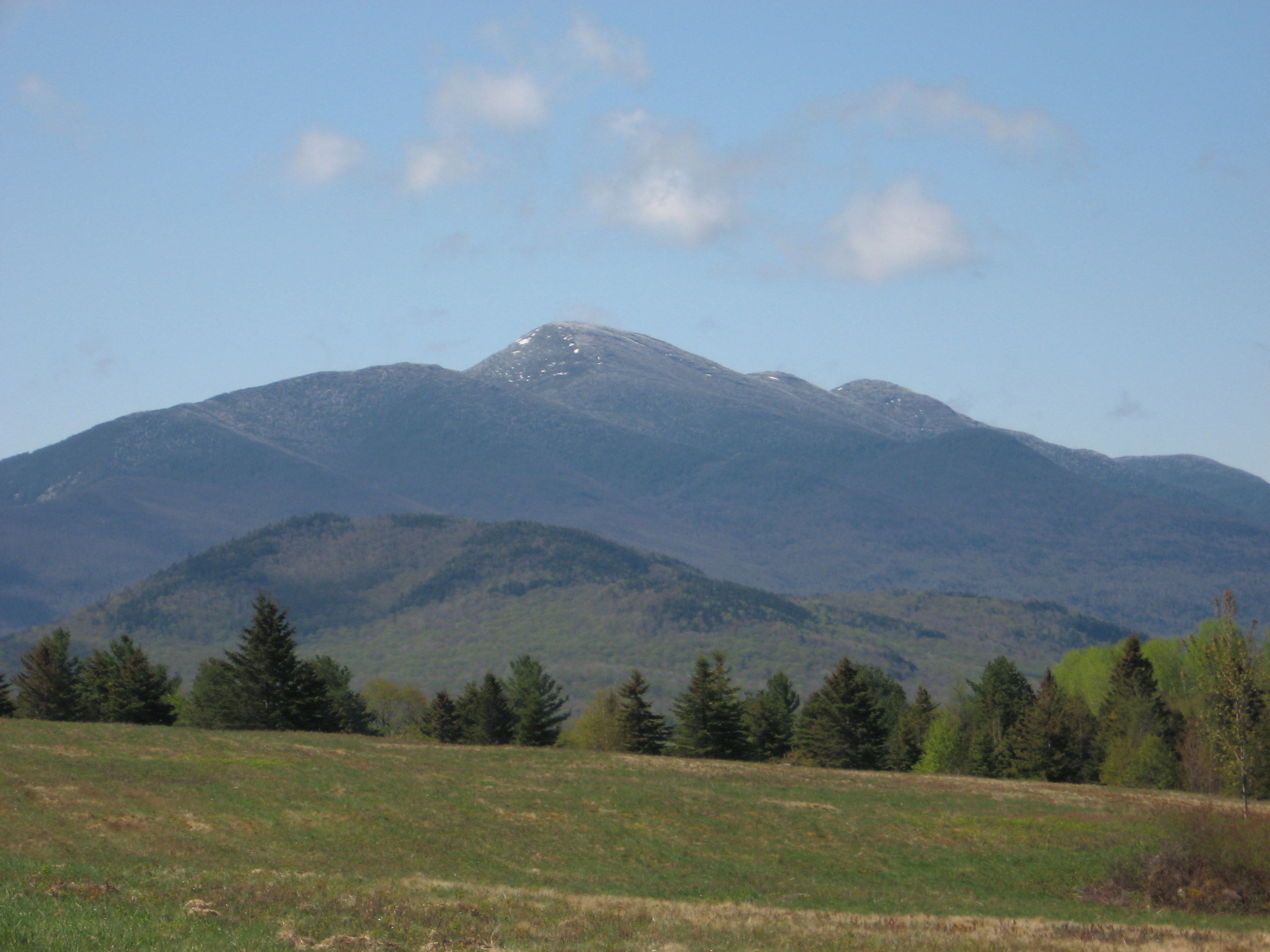
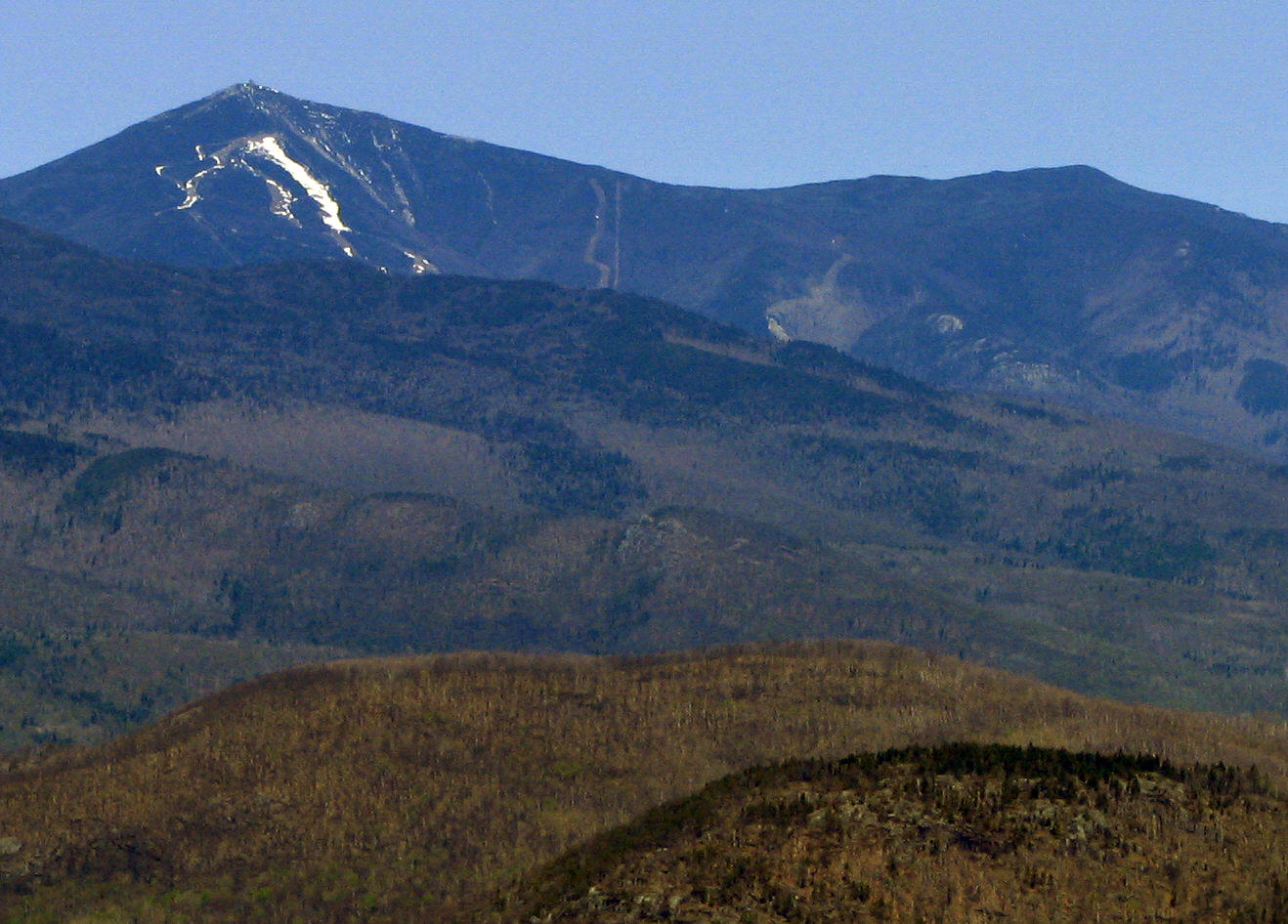
Home of the 1932 and 1980 Winter Olympic alpine events.

Dix Mountain stands at 4,857 feet — sixth highest of the 46 High Peaks. Most climbers approach from the Round Pond trailhead via the Beckhorn Trail, a 13.2-mile round-trip that includes a steep final ascent and open summit ledges.

Gray Peak stands at 4,840 feet, ranking seventh among the 46 High Peaks. No maintained trail reaches the summit — climbers bushwhack from the Lake Arnold Trail, making it one of the more remote ascents in the range.

Iroquois Peak stands at 4,840 feet, the eighth-highest of the 46 High Peaks. Typically climbed via Algonquin Peak — the two summits share a col — with exposed rock and alpine vegetation above 4,000 feet.
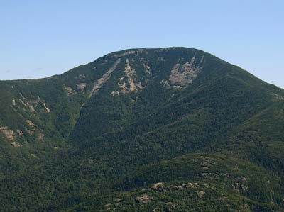
Basin Mountain stands at 4,827 feet, ninth-highest of the 46 High Peaks. Most climbers pair it with Saddleback Mountain via the Range Trail from Johns Brook Valley — a steep, ledge-filled ascent with open summit views toward Marcy and the Great Range.

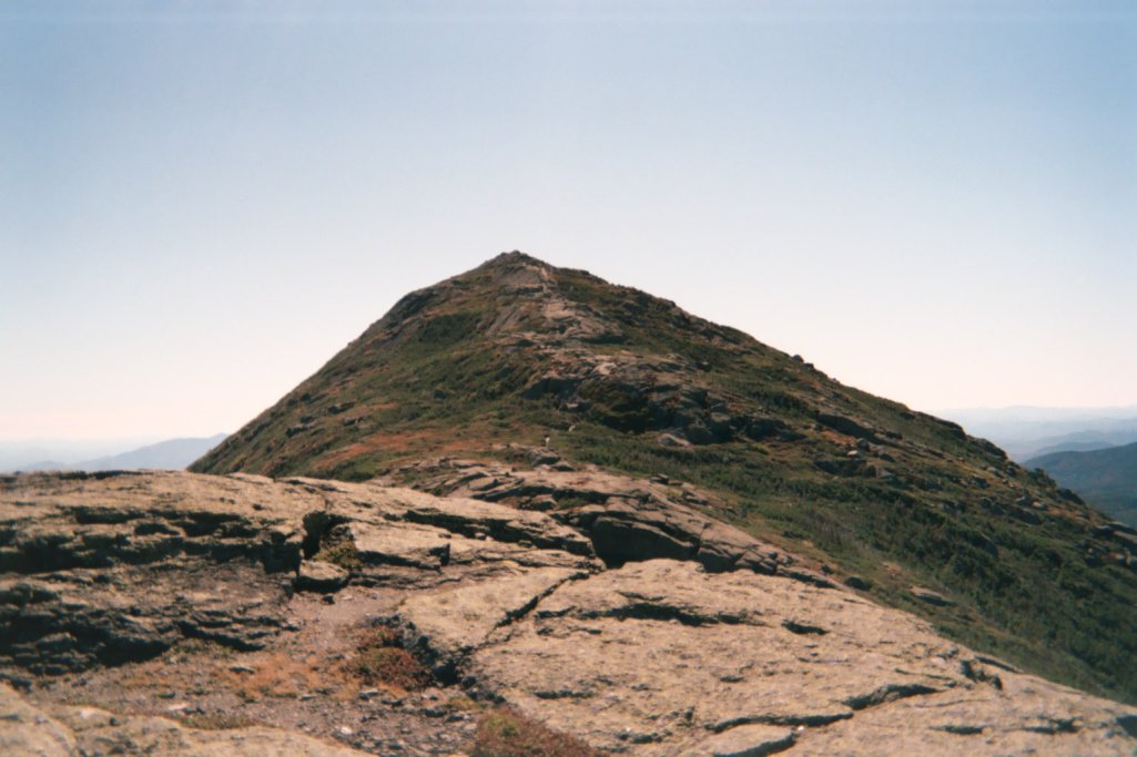
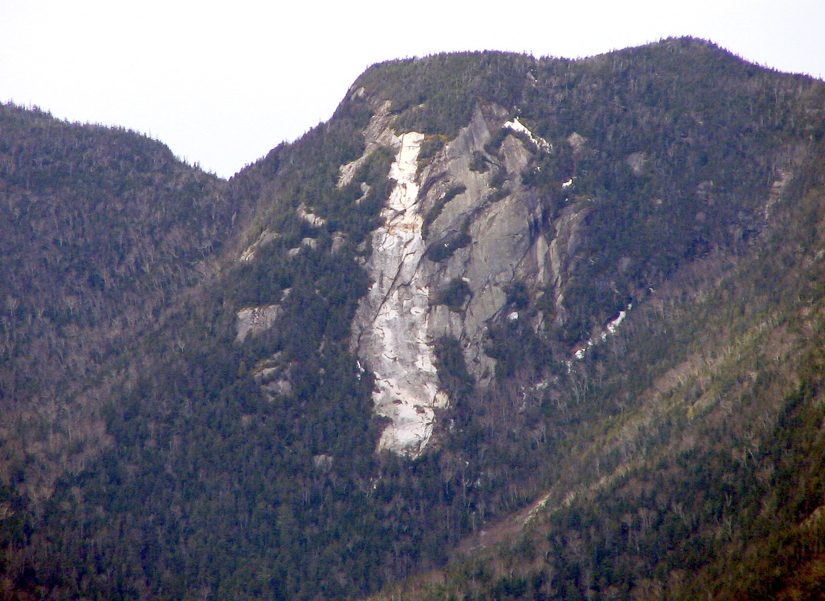
Exposed alpine slabs and one of the most photographed summits in the Range.

Mount Colden stands at 4,714 feet — the 11th-highest of the 46 High Peaks. Climbers reach it via Avalanche Pass or the Lake Arnold route; the open summit slab delivers unobstructed views of the Great Range and the MacIntyre massif.
Giant Mountain stands at 4,627 feet — 12th-highest of the 46 High Peaks and the tallest summit visible from Interstate 87. The standard route from the Ridge Trail parking area covers 6 miles round-trip with open rock slabs near the top; views extend to Lake Champlain and Vermont.

Nippletop stands at 4,620 feet, the 13th-highest of the 46 High Peaks. Most climb it from the Elk Lake trailhead via Elk Lake–Marcy Trail, often pairing it with Dial Mountain on a long loop — count on 14–16 miles and sustained elevation gain.
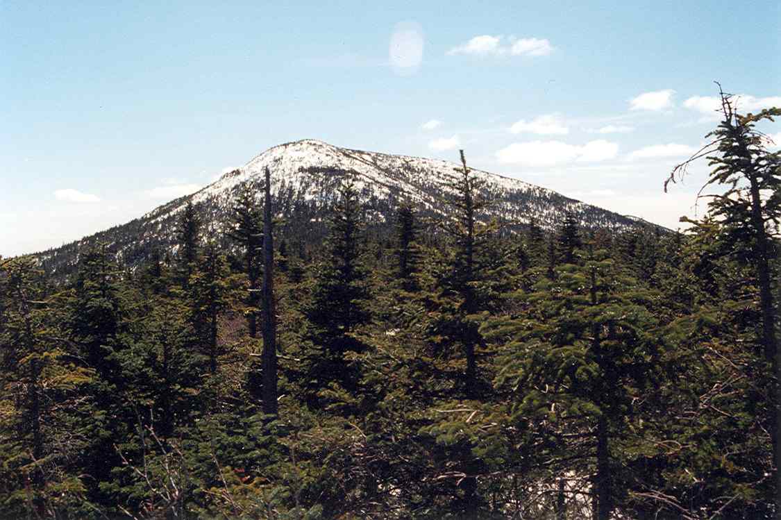
Santanoni Peak stands at 4,607 feet — number 14 of the 46 High Peaks — in the western High Peaks Wilderness near Tupper Lake. The summit is trailless; most hikers approach via Bradley Pond Trail, then bushwhack the final stretch through dense forest to a wooded top with limited views.
Mount Redfield stands at 4,606 feet, ranked No. 15 of the 46 High Peaks. Reached via a herd path from the Uphill Brook lean-to on the way to Cliff Mountain — no official trail, no summit views, but required if you're chasing the 46.
Wright Peak stands at 4,580 feet — the sixteenth-highest of the 46 High Peaks. Typically climbed as a side trip from Algonquin via a 0.8-mile spur, it offers open rock summit views for minimal added effort.
Saddleback Mountain rises to 4,515 feet, ranking No. 17 among the 46 High Peaks. Reached via a steep, trailless bushwhack from Basin Mountain or Gothics — committed terrain that keeps traffic light and the summit quiet.

Panther Peak stands at 4,442 feet in the Tupper Lake region — the eighteenth-highest of the 46 High Peaks. The herdpath ascent is steep and trailless, requiring map and compass work, but the wooded summit offers solitude seldom found on the better-known climbs.
Tabletop Mountain stands at 4,427 feet — nineteenth highest of the 46 High Peaks. Reached by a 10.4-mile round-trip from the Adirondak Loj via Phelps Trail and Indian Falls, the wooded summit offers limited views but serves as a common pairing with Phelps Mountain.

Rocky Peak Ridge stands at 4,420 feet — the 20th highest of the 46 High Peaks. The standard route from Route 9 near New Russia climbs 5.4 miles each way with sustained ridge walking and open views toward Giant Mountain and the Great Range.

Macomb Mountain stands at 4,405 feet in the Keene region — No. 21 of the Adirondack 46. Most climbers approach via the Lillian Brook herd path from Route 9, often linking it with South Dix and East Dix in a ridge traverse that demands full-day stamina and solid navigation.

Armstrong Mountain stands at 4,400 feet — the 22nd-highest of the 46 High Peaks. Typically climbed from the Beaver Meadow Falls trailhead via Gothics or as part of a Great Range traverse; the summit ledges offer clean views east toward Giant Mountain.
Hough Peak stands at 4,400 feet, ranking No. 23 of the 46 High Peaks. Typically climbed from the Ausable Club via Dix Mountain as part of a multi-peak loop — wooded summit, no views, but the ridge traverse earns it.

Seward Mountain rises to 4,361 feet in the Tupper Lake region — No. 24 of the 46 High Peaks. The standard route covers roughly 11 miles round-trip from the Calkins Brook trailhead; dense forest start to finish, no summit view, but solitude most days.
Mount Marshall stands at 4,360 feet — number 25 of the 46 High Peaks. The summit is wooded with no view, typically climbed via the Cold River from Upper Works or combined with nearby Iroquois and Herbert on a three-peak loop.

Allen Mountain stands at 4,340 feet in the Dix Range — the most remote of the 46 High Peaks, with no maintained trail and a 16-mile round-trip from the nearest trailhead. The bushwhack and river crossings make it a full-day commitment, often tackled with Skylight Brook as the approach route.

Big Slide Mountain rises to 4,240 feet in the Keene region, ranked 27th among the 46 High Peaks. Most climbers approach via The Brothers from the Garden parking area — a 9.7-mile round-trip with steady elevation gain and open summit ledges.
Esther Mountain stands at 4,240 feet — No. 28 of the 46 High Peaks. Most climbers approach from the Adirondak Loj via the summit of Whiteface Mountain, making it a 10-mile round-trip with steady elevation gain through quiet spruce forest.
Upper Wolfjaw Mountain rises to 4,185 feet in the Keene Valley region, ranking 29th among the 46 High Peaks. Most climbers reach it via the Wedge Brook Trail or as part of the Great Range traverse — open ledges near the summit offer views toward the Range and Giant Mountain.
Lower Wolfjaw Mountain rises to 4,175 feet in Keene — No. 30 of the 46 High Peaks. Most ascend it from the Garden via the W.A. White Trail, often pairing it with Upper Wolfjaw on a 10-mile circuit through the Range Trail's rugged ridge line.

Street Mountain stands at 4,166 feet in the Lake Placid region — No. 31 of the 46 High Peaks. Climbed as part of the Seward Range traverse, typically approached via the Ward Brook Trail; a herdpath leads to the wooded summit with limited views.

Phelps Mountain rises to 4,161 feet in the Lake Placid region — No. 32 of the 46 High Peaks. Most climbers start from the Adirondak Loj and link it with Mount Marcy or Tabletop; the summit itself is wooded with limited views, but the approach is direct and well-traveled.
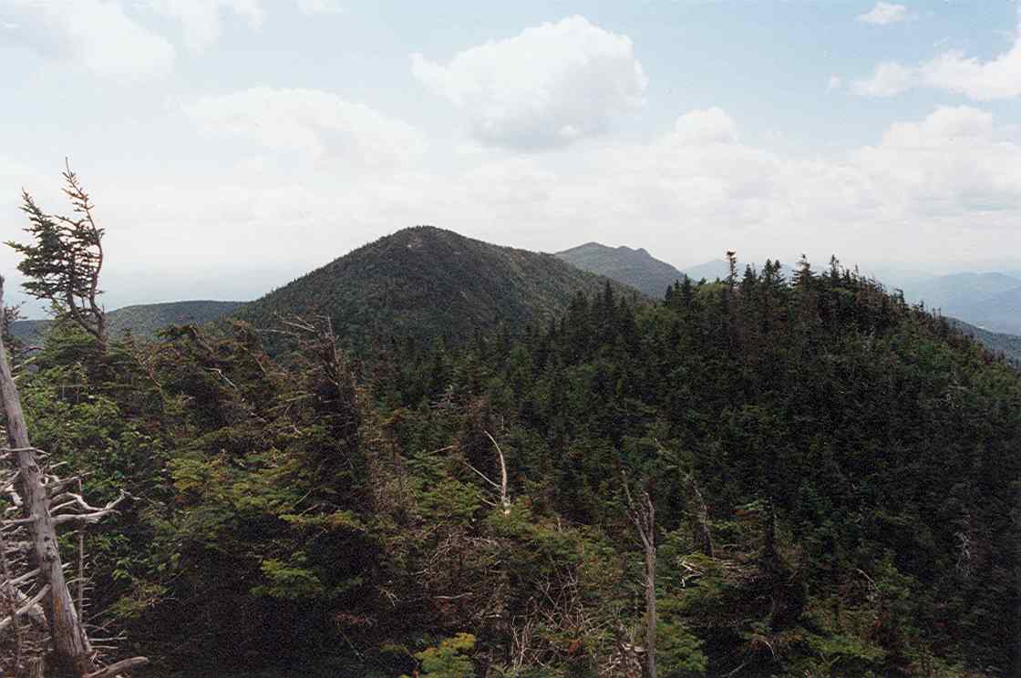
Mount Donaldson stands at 4,140 feet in the Seward Range near Tupper Lake — the 33rd highest of the 46 High Peaks. Trailless and remote, it's typically climbed with Seward and Seymour as a rugged three-peak loop requiring solid navigation skills.

Seymour Mountain stands at 4,120 feet in the Tupper Lake region — No. 34 of the 46 High Peaks. Most hikers approach it as part of the Seward Range traverse, a rugged loop that adds Seward and Donaldson to the tally in a single push.
Sawteeth stands at 4,100 feet — the 35th-highest of the 46 High Peaks, named for its jagged ridgeline visible from Route 73. Most climbers reach it via the Weld Trail from the Roaring Brook trailhead, often pairing it with Pyramid and Gothics for a ridge traverse.
The most-climbed 46er — short, steep, and the usual 'first' peak.

Carson Peak stands at 4,060 feet in the Dix Range, ranking 37th among the 46 High Peaks. Most climbers reach it via the Lillian Brook Trail from Route 73 — a rugged 15-mile round-trip that bags four summits if you extend to Macomb and South Dix.
Porter Mountain stands at 4,059 feet in the Keene region — number 38 of the 46 High Peaks. Most hikers combine it with Cascade Mountain via a 1.2-mile ridge connector; the summit ledges deliver views east toward Lake Champlain.

Mount Colvin stands at 4,057 feet in the Keene region — No. 39 of the 46 High Peaks. Most climbers pair it with Blake Peak via the Elk Lake-Marcy Trail or a longer loop from Adirondak Loj; both routes demand navigation skill through unmarked sections above treeline.
Emmons Mountain stands at 4,040 feet in the Tupper Lake region — the fortieth-ranked High Peak. The climb is trailless and remote, often paired with Seward Mountain; expect thick spruce and navigation by map and compass.

Dial Mountain rises to 4,020 feet in the Keene region — the 41st highest of the 46 High Peaks. Most hikers approach from the Ausable Club via Noonmark, then continue along the ridge to Dial's ledgy summit with sweeping views toward Giant and the Great Range.
Grace Peak stands at 4,012 feet in the Dix Range — the 42nd-highest of the Adirondack Forty-Sixers and often called East Dix. Most climbers approach from the Round Pond trailhead on a 16-mile circuit that bags Hough, South Dix, Macomb, and Grace in a single push.
Blake Peak stands at 3,960 feet in the Keene region — the 43rd-highest of the 46 High Peaks. A trailless bushwhack, typically climbed with Colvin and Pinnacle via a ridge traverse; the summit is wooded with no views.
Cliff Mountain rises to 3,960 feet in the Keene region, ranking No. 44 of the 46 High Peaks. The herdpath approach from the Phelps-Tabletop col is steep and eroded — expect a scramble, and no summit views through the dense spruce cover.
Nye Mountain rises to 3,895 feet in the Lake Placid region — the 45th-tallest of the 46 High Peaks. Hikers typically pair it with Street Mountain on a 9.6-mile loop from the Adirondak Loj; no official trail to the summit, so navigation skills help.
Deep col, mud, and reclimb make this the notorious final peak for many aspirants.