
What the Park is doing this week.
Every way to get outside in the Adirondacks — mapped, in season, and moving right now. Start with what’s live today, not an A–Z of links.
Not sure where to point the car? Start here.
Coon Mountain.
2.4 mi up · 750 ft gain · 1,030 ft summitAdirondack Coast pick — short steady climb to an open summit overlooking Lake Champlain. Trail is volunteer-maintained by the Lake Champlain Land Trust. Excellent introduction to the Champlain Valley landscape, with the Green Mountains visible across the lake on clear days.
Plan the hike→ModerateBlack Mountain.
2.4 mi up · 1,100 ft gain · 2,646 ft summitHighest point above Lake George. Active sound-checked tower with sweeping shoreline views down the lake's western arm. Multiple approach trails; the south trail from Pike Brook Road is the most-used. The Lake George region's signature panoramic hike.
Plan the hike→ExpertBig Slide Mountain.
8.4 mi loop · 2,820 ft gain · 4,240 ft summitThe full-day pick. From The Garden trailhead in Keene Valley, the loop crosses The Brothers — a three-bump open ridge with shoulder views that keep morale high — before climbing the shoulder of Big Slide proper. The summit isn't bald but offers strong views of the Great Range. Real climb, real day, real reward.
Plan the hike→Three waters worth the roof rack.
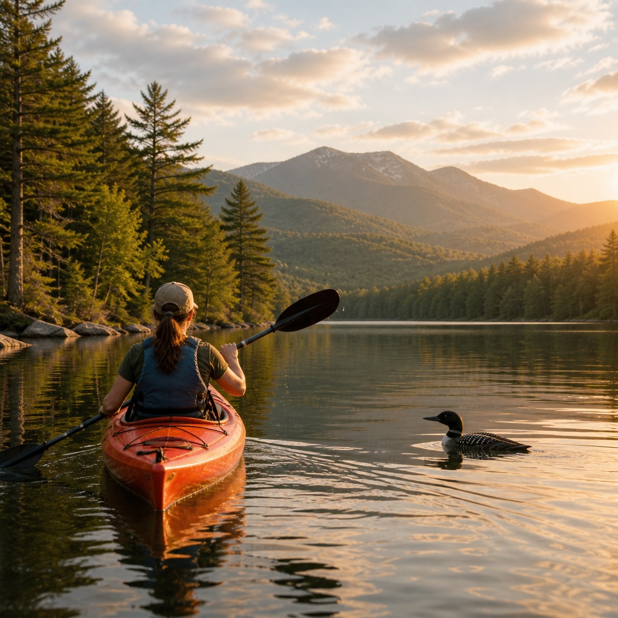
The family-canoe pick. Connected to Long Lake by a short carry, Forked has 50+ boat-in DEC campsites, classic Adirondack shoreline, and far less traffic than the larger Saranac chain. The ideal first overnight paddle for younger paddlers.
See the water→ 43.90°N · 74.57°WThe AtlasIndian Lake14 mi long · ~4,365 ac · Hamilton County
Long, narrow, surrounded by state forest. Family-friendly bays on the east end, real wind exposure on the open north reach. Multiple public launches; the Adirondack League Club shoreline is private but the rest is paddleable. Pair with a stay in the Indian Lake hamlet for a low-key weekend.
See the water→ 43.69°N · 74.32°WThe AtlasLong Lake14 mi long · 4,077 ac · Hamilton County
Threaded by the Raquette River with lean-to camping on the eastern shore and multiple put-ins along Route 30, Long Lake is the classic Adirondack flatwater corridor. It connects north into the Cold River and east into Forked Lake, so an afternoon paddle and a four-day trip both start from the same town beach.
See the water→ 43.94°N · 74.47°WThe Atlas
Every pursuit carries a live reading.
Not an index for its own sake — each chapter opens with what the season is doing to it.
On the Water.
On Foot & Wheel.
Sky & Snow.
The standings.
Who’s most active this month.
Every GPS-checked check-in, summited peak, paddled water and editor-approved photo — ranked.
The fishing leaderboard.
Photo-verified catches by species, length and weight — with the stocked-waters atlas behind it.