
Go take a hike. We carry the rest.
AllTrails® shows the trail. We show the lean-to, the campsite, the beach, the island, the lodge with a free room, and the country store with coffee — on the web and in an iPhone app that keeps working after the signal drops. One lake. 173 pins. Free. No signup. Adirondacks only.
The whole Park, in your pocket.
Every trail, peak, lake and lean-to — plus the live layer no trail app carries — offline the moment the bars disappear. Their offline maps are a subscription. Ours are free.
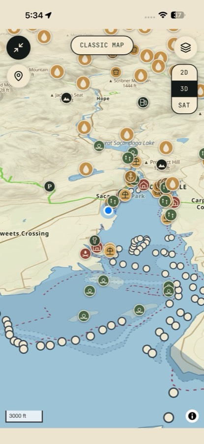
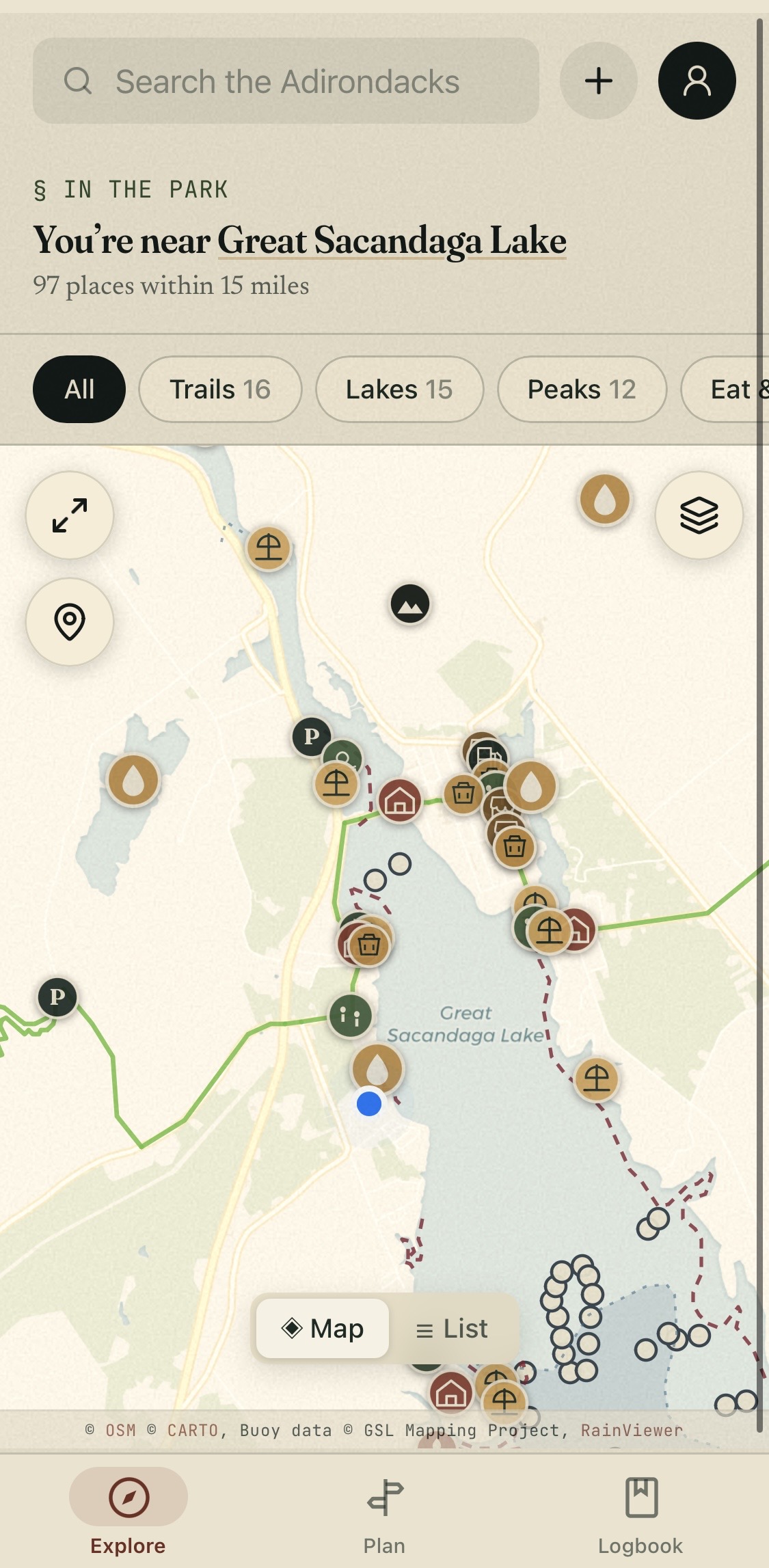
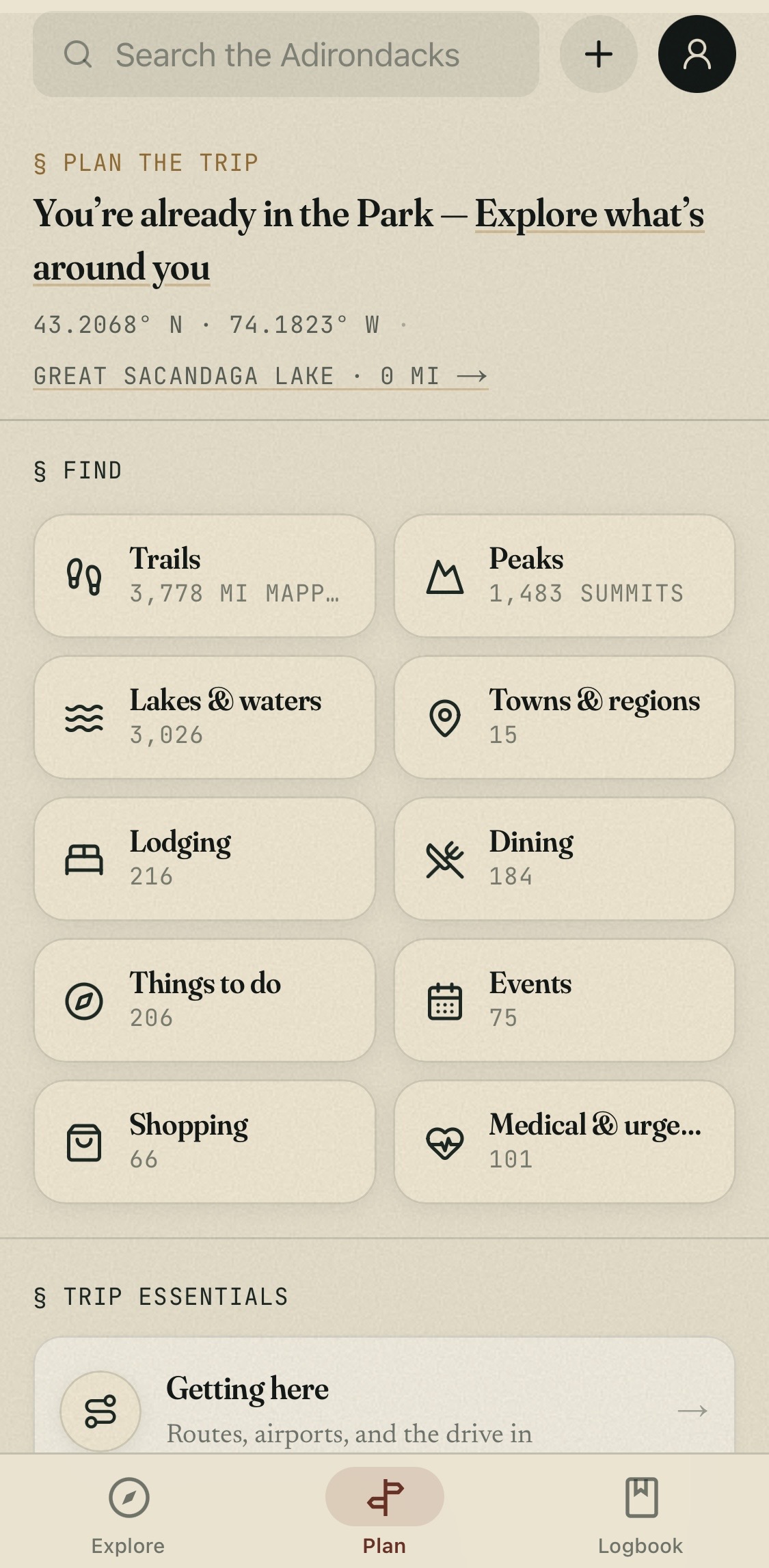
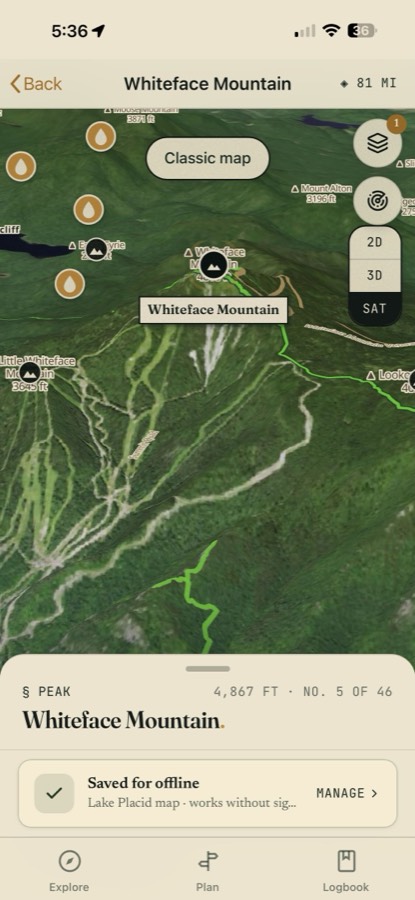
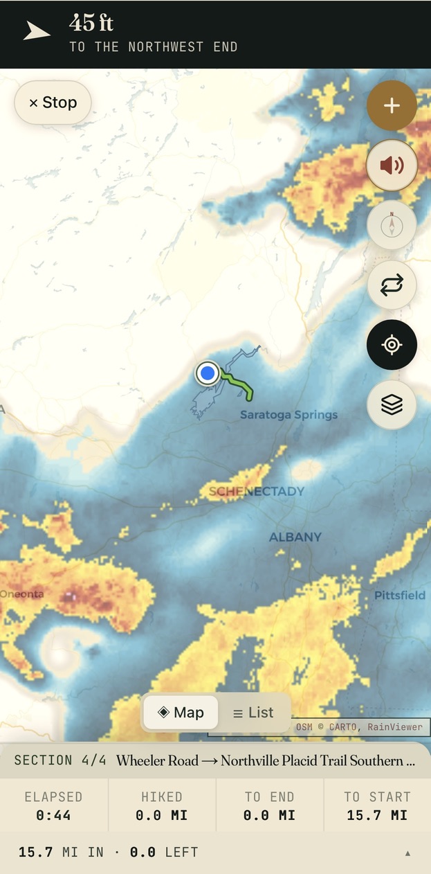
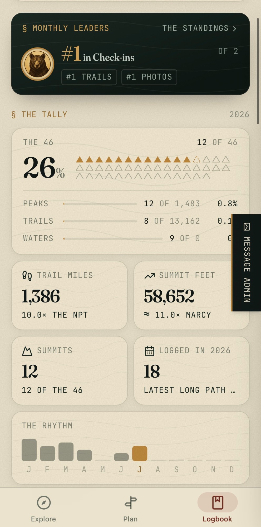
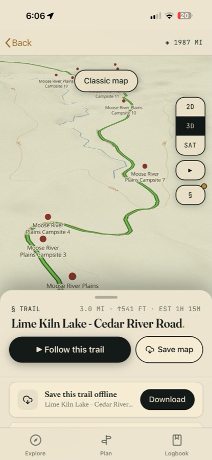
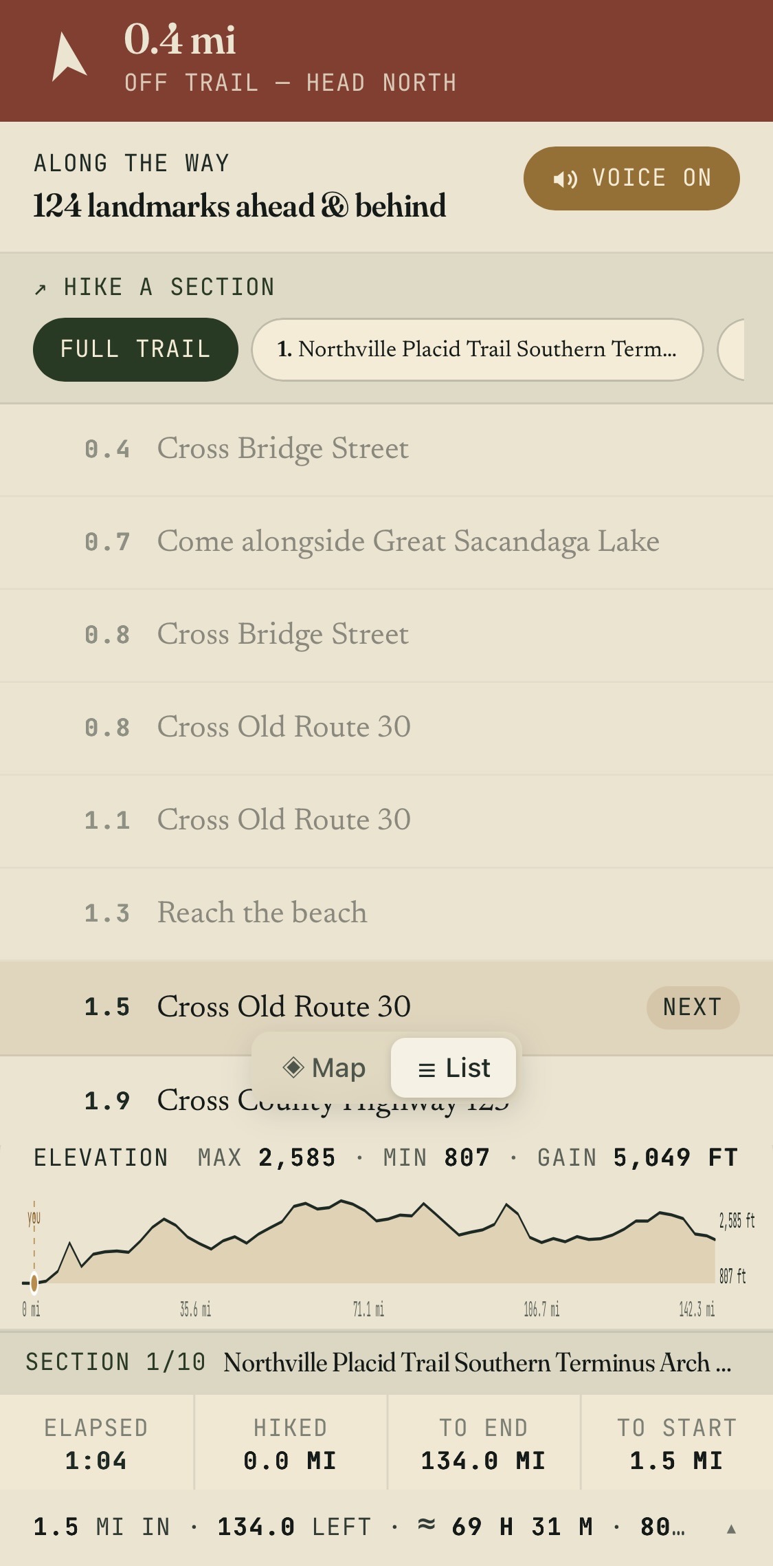
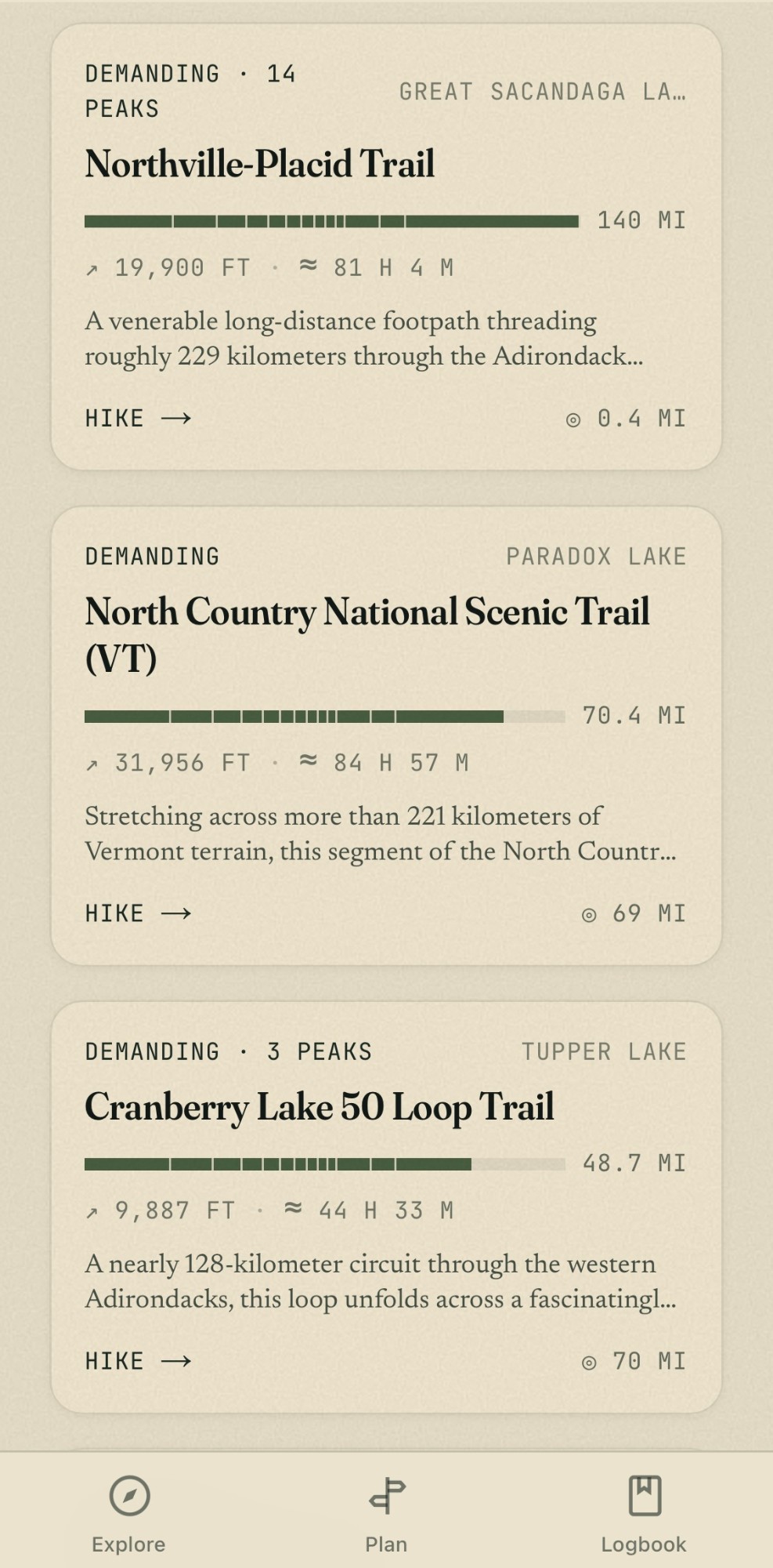
One Adirondack lake. AllTrails: 2 pins. AdirondackRegion: 173.
A trail is one line on a map. A trip is parking, lean-tos, campsites, beaches, islands, lodging, dining, fuel, charging, weather, and the DEC closure you didn’t know about. We built the second thing.
What you get on each side of the map.
* Adirondack region only — we are intentionally local. † User review framework built; awaiting community as our traveler audience grows.
Built on real Adirondack ground truth.
A field guide, not a trail app.
I live in Northville and I hike a lot. Every trip was the same dance — AllTrails for the trail line, DEC PDFs for the lean-tos, Google for “coffee near trailhead,” another tab for lodging, another for whether the road was washed out.
So I started mapping it. All of it. Every trail. Every lean-to and campsite. Every fire tower, waterfall, beach, island, trailhead. Every lodge, diner, country store, gas station, and EV charger inside the Blue Line. Everywhere inside. All of it.
AllTrails is a global trail database. We’re a regional field guide. We have one job. They have a hundred.
The skeptic’s page.
Because we make money two other ways: (1) affiliate commissions when travelers book lodging or activities through our partner links, and (2) optional Featured listings for business owners who want above-fold placement. The map, the trail data, and the POI overlays are free for visitors — and will stay free. No paywall, no subscription, no signup wall.
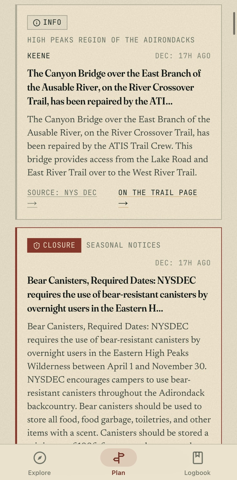
We pull directly from New York State DEC trail-conditions feeds and refresh multiple times daily. When DEC posts a high-water advisory or a closure, our map reflects it within hours — usually within the hour. We log a freshness timestamp on every advisory so you can see when it was last verified.
No. Going global is the opposite of our advantage. We index one region — the Adirondacks — to the foot. Every lean-to, every portage, every parking lot, every DEC closure. A national app can't do that without 200 editorial teams. We have one team that hikes here every weekend.
Yes — the iPhone app is in free beta now (grab it through TestFlight above): offline Field Packs, voice route guidance, live DEC alerts, and 3D terrain. Android is next — join the waitlist on the apps page. The website itself is mobile-first and keeps working offline for any page you've already opened.
Mix of public sources (NY DEC trails feed, OpenStreetMap, NYS GIS) and our own field work — we walk the trails, validate the lean-tos, photograph the trailheads. We cite every source in our colophon. If you find an error, there's a 'report this' link on every detail page; we fix within 48 hours.
Pick a trail. We’ll show you the rest.
On the web it’s all free — no account, no paywall. And the same field guide rides in your pocket: the iPhone app carries the whole catalog offline. Just the Adirondacks, indexed properly.
AdirondackRegion.com is an independent editorial project and is not affiliated with, sponsored by, or endorsed by AllTrails, LLC. AllTrails® is a registered trademark of AllTrails, LLC. Comparisons reflect publicly visible AllTrails free-tier map data as of May 2026; AllTrails features and pricing may change over time.