

Rutland Trail.
A 1.1-mile trail maintained by NYSDEC, typically used as a connector or short out-and-back. The route is marked but sees light traffic — check conditions before heading out.
- Leg-stretcherShort and nearly flat — an hour or less
- Peak foliage window — color starts up high and works down the valleys through mid-October.
Seasonal pattern for this trail · live closures appear above
Read the line before you walk it.
What the trailhead is doing today.
Where the hike begins.
If you’re already out here.
Tupper Lake.
The corner of the Park this trail calls home — its hamlets, waters, lodging, and the rest of its field record.
Read the Region→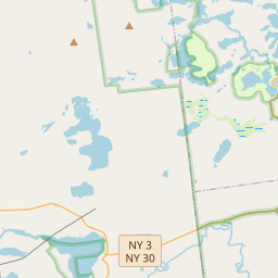
Add to the record.
Free, takes thirty seconds. Yours forever.
Every page on this site gets better when readers contribute. Mark a peak you’ve climbed, drop a photo, file a field note, or flag a correction — every addition makes the next visitor’s page better.
File a report.
Trail conditions, water level, bug pressure, blowdown. The kind of detail that helps the next person plan.
Write a field note →Spot something off?
Wrong elevation, outdated access notes, a coordinate that's drifted. We'd rather hear it than miss it.
Suggest an edit →


Frequently asked.
- How long is the Rutland Trail?The Rutland Trail is approximately 1.07 miles (1.7 kilometers) — a short out-and-back suitable for most fitness levels.