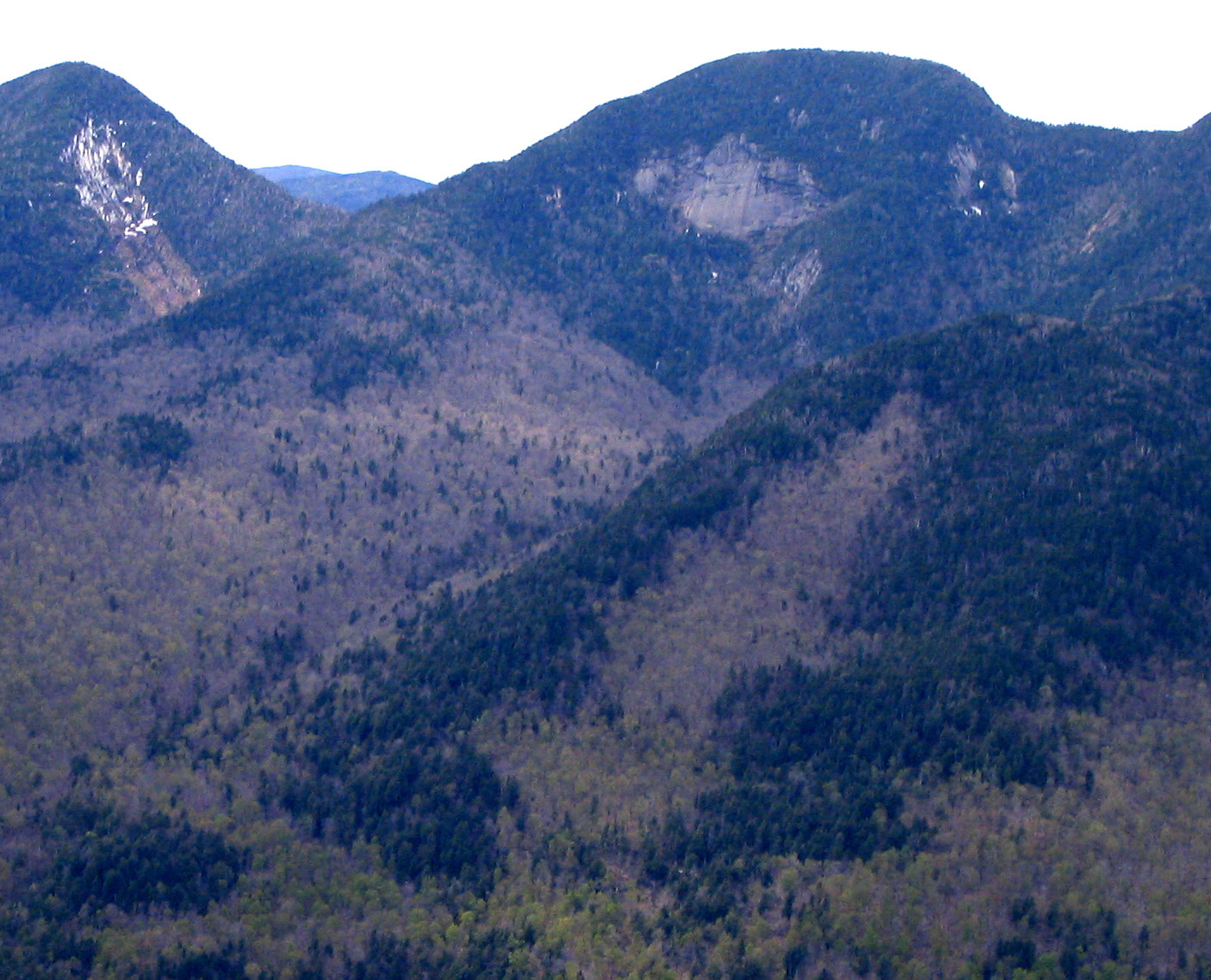
 Photo via Wikipedia (Lower Wolfjaw Mountain) ↗
Lower Wolfjaw Mountain rises to 4,175 feet in Keene — No. 30 of the 46 High Peaks. Most ascend it from the Garden via the W.A. White Trail, often pairing it with Upper Wolfjaw on a 10-mile circuit through the Range Trail's rugged ridge line.
Lower Wolfjaw Mountain is the 30th-highest of the 46 Adirondack High Peaks (the 46ers), at 4,175 ft. Nearby waters include Rock Cut Brook and Pyramid Brook.
Closest parking lots within range, ranked by walking distance. Accessibility flags come from Google verified-data; surface and capacity from OpenStreetMap. Confirm hours and seasonal closures before you go.
Free, takes thirty seconds. Yours forever.
Every page on this site gets better when readers contribute. Mark a peak you’ve climbed, drop a photo, file a field note, or flag a correction — every addition makes the next visitor’s page better.
Sunrise on the dock, a cairn at the summit, a bend on the trail. Your camera roll, our archive.
Add a photo →Trail conditions, water level, bug pressure, blowdown. The kind of detail that helps the next person plan.
Write a field note →Wrong elevation, outdated access notes, a coordinate that's drifted. We'd rather hear it than miss it.
Suggest an edit →