
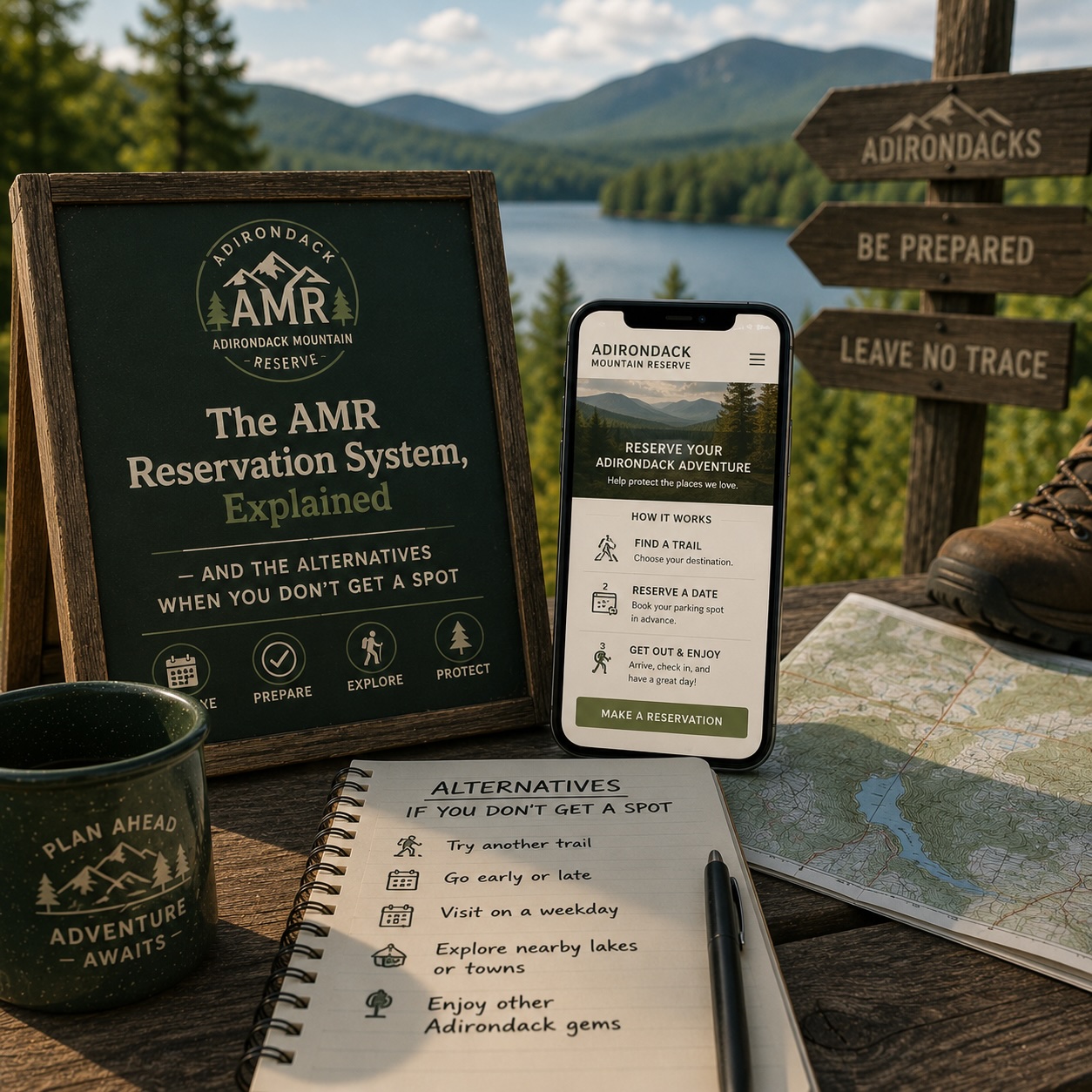
The AMR Reservation System, Explained — and the Alternatives When You Don't Get a Spot.
70 parking spots a day, six months of summer demand, and a 4 a.m. release window for same-day cancellations. Here's how to actually get one — and which trailheads work just as well when you can't.
The short answer.
The Adirondack Mountain Reserve (AMR) — also called the Ausable Club — is a privately owned 7,000-acre tract in Keene Valley that the public can hike on, by reservation only, from May 1 through October 31. The 2026 reservation window opens April 17, 2026.
The trails that start at the AMR gate go to some of the best moderate-day hikes in the Adirondacks: Indian Head, the Rainbow Falls loop, Noonmark, Round Mountain, and from the AMR property you can also access Lower and Upper Wolfjaw, Armstrong, Sawteeth, Gothics, Saddleback, Basin, and Haystack for the Great Range traverse. It''s also the most-photographed trailhead in the Park — the Indian Head overlook of the Ausable Lakes is the shot every guidebook uses for the cover.
70 cars a day fit. Tens of thousands of people want in. Here''s how the system actually works and where to go when the parking lot says full.
How the Reservation System Actually Works
Free. No fee. The AMR is private property, but the agreement with DEC keeps public access reservation-only at no cost.
Reserve at hikeamr.org. Make an account, pick a date, pick a vehicle, get a confirmation. Each reservation covers one vehicle and up to the legal occupancy of that vehicle.
Reservations open on a rolling window. Two windows matter:
- Two weeks out — the bulk of slots release at midnight, 14 days before your hike date. The popular Saturdays in fall foliage (late September through Columbus Day weekend) fill in minutes. Weekday slots in May and early June often have wide availability the day-of.
- 4 a.m. same day — cancellations from no-shows and overnight cancellations release at 4 a.m. on the morning of. This is the actual best chance if you struck out two weeks ago. Set a 3:55 a.m. alarm, refresh the calendar at 4:00, and grab whatever opens. This works more often than people think — the AMR''s own data shows a meaningful chunk of reservations get cancelled the night before, especially when the weather forecast turns.
Parking hours are 5 a.m. to 7 p.m. That''s when the gate accepts entries. Late arrivals lose the spot.
70 reservations per day total, including overnight backcountry users. There''s no separate day-use pool.
The Strategy
A few things that actually work:
- Book the Wednesday or Thursday. Weekday slots are almost always available. The system is designed around weekend demand; the rest of the week is wide open.
- Book a shoulder week. Late May, mid-June, the last two weeks of August. Foliage weekends are the brutal ones — everything else is more reasonable than the discourse suggests.
- Refresh at midnight, 14 days before your target date. Set the calendar reminder. Most popular Saturdays fill within 30 minutes of release; some within five.
- Refresh at 4 a.m. day-of. Genuinely the highest-conversion window for a popular date. Cancellations are real.
- Be willing to start at 5 a.m. The first slot in the lot is when most people target. If you''re flexible to start at 7 or 8, more spots are usually open.
What You Can''t Do
- Walk in from somewhere else. The trail system on AMR is closed to anyone without a reservation. Parking on the Ausable Road is towed, not ticketed.
- Park down the road. Lake Road has no-parking signs and they''re enforced. The Roaring Brook Road overflow lot is gone.
- "Just go anyway." AMR security patrols the property and the relationship between the DEC and the AMR depends on the reservation system holding. Don''t poach.
Where to Go When You Don''t Get a Spot
Most of what people hike at AMR — moderate-grade mountains under 4,000 feet, good views, big day-hike payoff — has a no-reservation alternative within 30 minutes'' drive. Here are the actual substitutes:
Cascade and Porter (from Cascade Pass on Route 73, between Keene and Lake Placid). Two summits in one hike, 4.8 miles round trip for both, sub-treeline summits with big views. No reservation, parking lot off the road, often crowded but the lot rarely fills before 9 a.m. on weekdays. This is the most common substitute for an AMR no-reservation day and the views from Cascade are arguably better than Noonmark.
Hurricane Mountain. Three trailheads on the south side: Crow Clearing (longest, prettiest), Route 9N (steepest, fastest), and Hurricane Road. The summit has a manned fire tower with 360-degree views. No reservation. 5 to 7 miles round trip depending on trailhead.
Pitchoff. Route 73 between Keene and Lake Placid, across from the Cascade trailhead. Less crowded than Cascade, harder, with five summits and the best ridge views in the area. Two-car shuttle works best for the traverse. No reservation.
Giant and Rocky Peak Ridge (from Chapel Pond on Route 73). The "ridge" route up Giant is the longer alternative to the steep direct route; Giant itself is a High Peak. No reservation, parking on Route 73. The Rocky Peak Ridge traverse is one of the great High Peaks day hikes.
Mount Jo (from the Heart Lake / ADK Loj parking lot). The easy big-view payoff. 2.5 miles round trip, summit looks straight across at the MacIntyre Range. Loj parking is a fee lot, not a reservation lot — you pay at the kiosk and there''s almost always space midweek. Loj also opens earlier than AMR.
Algonquin from Loj. If your real goal was a High Peak and AMR was just the route, Algonquin via the Heart Lake trailhead is the direct way to the second-highest peak in New York. 9 miles round trip, big day, no reservation. Loj parking is fee but unreserved.
Baker Mountain (Saranac Lake). 1.8-mile loop, 900 feet of climbing, summit views over Saranac and Lake Flower. Right in town, free street parking, perfect when you struck out on AMR and want to salvage a half-day.
The Photograph Question
The Indian Head overlook is, honestly, one of the great views in the Northeast — the Lower Ausable Lake fjord-style between Sawteeth and Colvin from a 2,700-foot perch. There''s no substitute that gives you that exact composition.
The closest alternative for the same vibe (high overlook of a long fjord-style lake) is the Pyramid Peak vista on the way to Gothics — which also requires an AMR reservation, so it doesn''t help. Sawteeth''s summit ledge gives a similar view from the opposite side, also AMR. Mount Colvin from the Elk Lake side is the public-land alternative for a similar long-lake overlook composition, but it''s a longer day with more elevation.
Honest answer: if the Indian Head shot is the goal, set the 14-day alarm. If "a big view from a moderate climb" is the goal, Cascade or Hurricane delivers and you''re sleeping in.
Practical Tips
- Cell service is unreliable at the gate. Have the reservation confirmation downloaded or screenshotted before you drive in. The gatehouse can look it up, but it adds time.
- Bring the photo ID matching the reservation. They check.
- No dogs. AMR property is closed to dogs, including on-leash. This catches people every season. If you need a dog hike, go to Cascade.
- 5 a.m. is genuinely early. If you''re booking the first-light slot, plan to be at the gate by 4:45 and in your car at the trailhead lot by 5:10. The drive in from the gate to the parking is about a mile.
- The Ausable Road is gravel and lined with private homes. Drive 15 mph. AMR members live on this road.
The AMR system is one of the more polarizing things in Adirondack hiking — climbers and locals have feelings about it — but as a visitor, it''s genuinely the cleanest reservation system in the Park. Free, online, fast. Use the 4 a.m. window, book midweek, and treat the alternatives as plan A on the days you don''t get in.