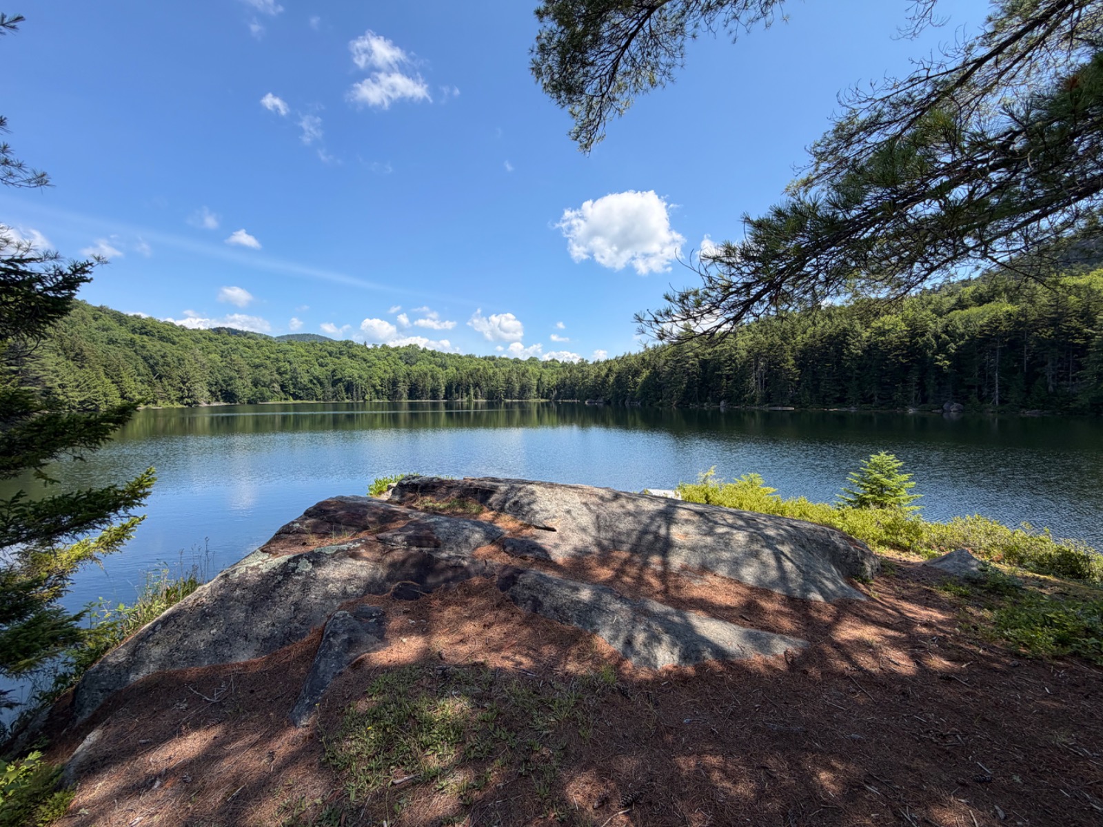
A measured excursion through mixed Adirondack forest, this 5.14-kilometer trail is reported to lead toward the quiet waters for which it takes its name. The path winds through terrain that often alternates between hardwood stands and conifer groves, offering hikers a contemplative journey into the region's less-traveled backcountry. Those seeking solitude rather than dramatic elevation gain will find the route suited to a steady, observant pace.
Long Pond Trail runs 3.2 miles (5.1 km) with about 187 feet of elevation gain — an easy hike, nearly level throughout, about 1 h 45 min on the trail.
Closest parking lots within range, ranked by walking distance. Accessibility flags come from Google verified-data; surface and capacity from OpenStreetMap. Confirm hours and seasonal closures before you go.
+43 more on the map above
From the people who’ve been here, plus what Google has on file.
Submitted by visitors who’ve been here.
Free, takes thirty seconds. Yours forever.
Every page on this site gets better when readers contribute. Mark a peak you’ve climbed, drop a photo, file a field note, or flag a correction — every addition makes the next visitor’s page better.
Sunrise on the dock, a cairn at the summit, a bend on the trail. Your camera roll, our archive.
Add a photo →Trail conditions, water level, bug pressure, blowdown. The kind of detail that helps the next person plan.
Write a field note →Wrong elevation, outdated access notes, a coordinate that's drifted. We'd rather hear it than miss it.
Suggest an edit →