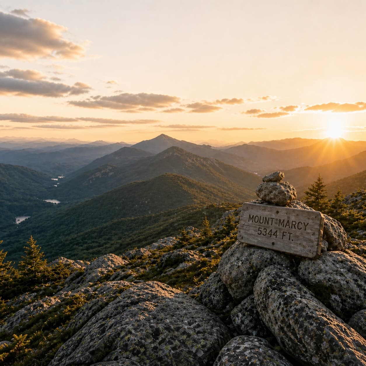
Managed by the NYSDEC as part of the Lake Champlain North trail network, this 11.6-kilometer route leads through mixed Adirondack forest to a backcountry pond that is reported to offer quiet water and a sense of remoteness. The trail itself winds over varied terrain, ascending gradually through hardwood and conifer stands before descending to the pond's outlet. Clear Pond is often described as a worthy destination for anglers and paddlers willing to carry in a canoe, though current NYSDEC regulations apply to any fishing activity.
Clear Pond Trail runs 4.1 miles (6.6 km) with about 1,810 feet of elevation gain — a demanding hike, with a moderate, steady climb, about 4 h 30 min on the trail. NYSDEC maintains the route.
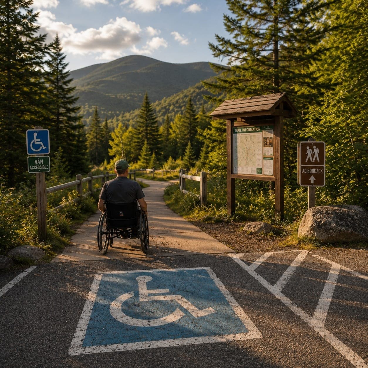
Closest parking lots within range, ranked by walking distance. Accessibility flags come from Google verified-data; surface and capacity from OpenStreetMap. Confirm hours and seasonal closures before you go.
+15 more on the map above
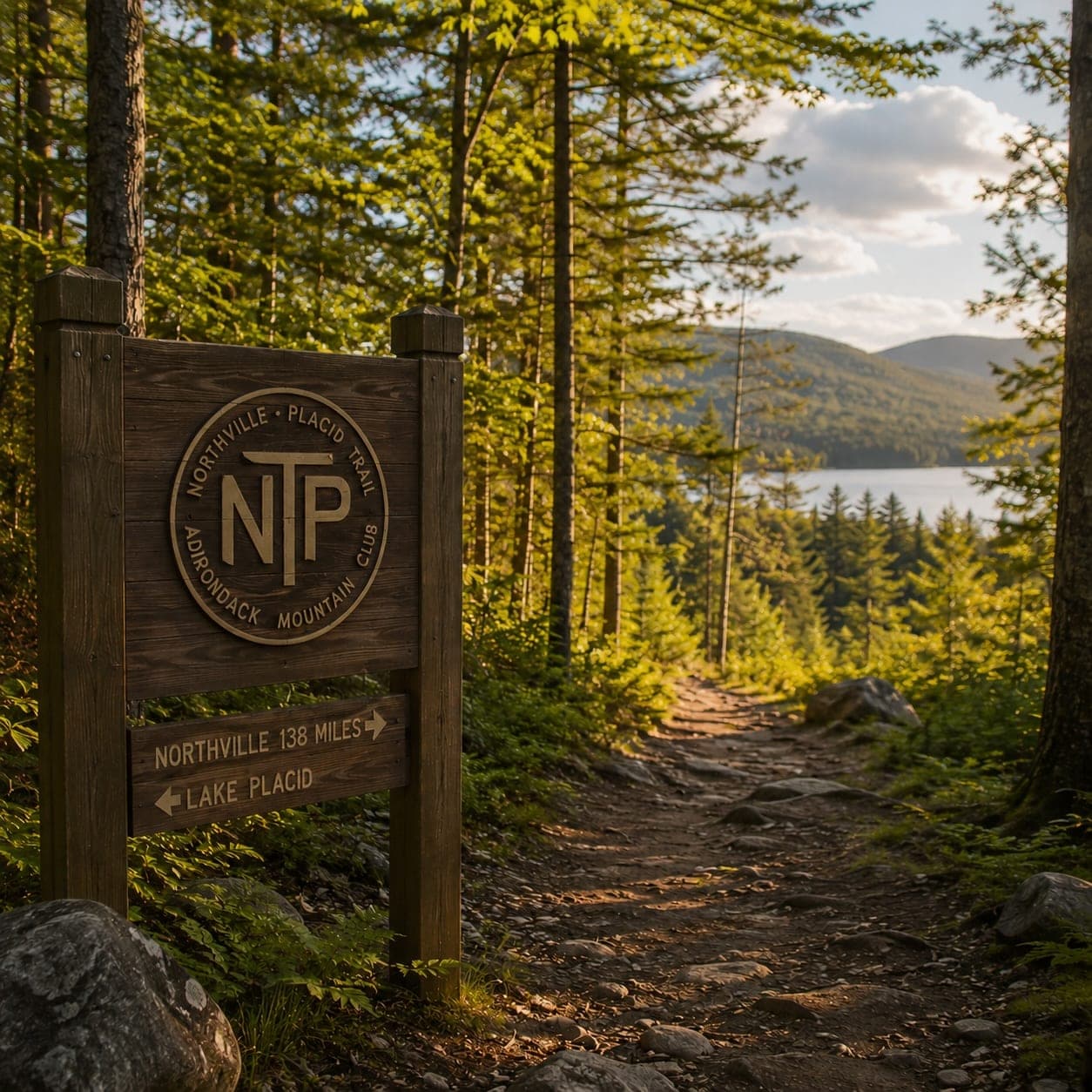
Editorial trailhead listings within roughly 3 miles. Useful for permit info, parking capacity, and access-road conditions.
Free, takes thirty seconds. Yours forever.
Every page on this site gets better when readers contribute. Mark a peak you’ve climbed, drop a photo, file a field note, or flag a correction — every addition makes the next visitor’s page better.
Sunrise on the dock, a cairn at the summit, a bend on the trail. Your camera roll, our archive.
Add a photo →Trail conditions, water level, bug pressure, blowdown. The kind of detail that helps the next person plan.
Write a field note →Wrong elevation, outdated access notes, a coordinate that's drifted. We'd rather hear it than miss it.
Suggest an edit →