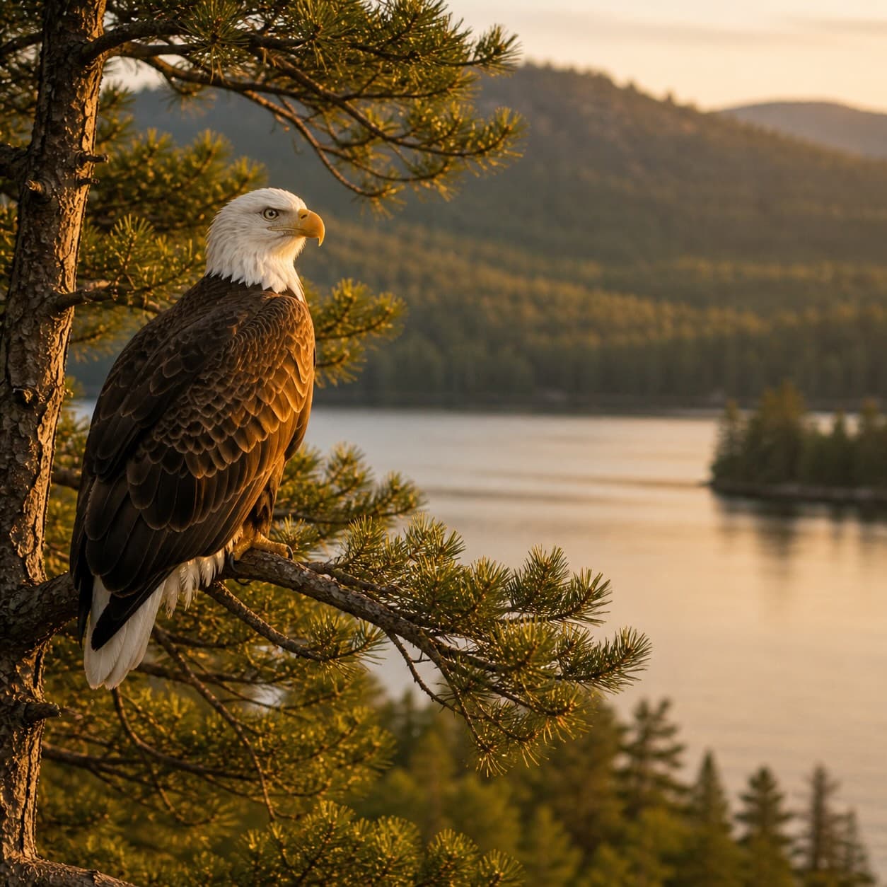
Sentinel Mountain rises to 3,852 feet in the High Peaks Wilderness, climbed via a 6.8-mile round-trip from the Sentinel Range trailhead. The herdpath to the summit is steep and unmarked — expect route-finding through thick spruce near the top.
Closest parking lots within range, ranked by walking distance. Accessibility flags come from Google verified-data; surface and capacity from OpenStreetMap. Confirm hours and seasonal closures before you go.
Free, takes thirty seconds. Yours forever.
Every page on this site gets better when readers contribute. Mark a peak you’ve climbed, drop a photo, file a field note, or flag a correction — every addition makes the next visitor’s page better.
Sunrise on the dock, a cairn at the summit, a bend on the trail. Your camera roll, our archive.
Add a photo →Trail conditions, water level, bug pressure, blowdown. The kind of detail that helps the next person plan.
Write a field note →Wrong elevation, outdated access notes, a coordinate that's drifted. We'd rather hear it than miss it.
Suggest an edit →