Dun Brook Mountain rises to 3,563 feet in the central Adirondacks. It's trailless and rarely climbed—bushwhackers approach from the south via old logging roads, but expect slow going through thick spruce.
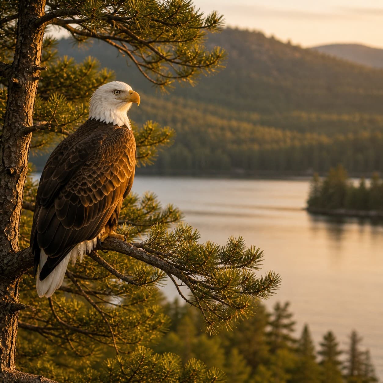
Nearby waters include Wolf Pond and Dun Brook.
Closest parking lots within range, ranked by walking distance. Accessibility flags come from Google verified-data; surface and capacity from OpenStreetMap. Confirm hours and seasonal closures before you go.
Free, takes thirty seconds. Yours forever.
Every page on this site gets better when readers contribute. Mark a peak you’ve climbed, drop a photo, file a field note, or flag a correction — every addition makes the next visitor’s page better.
Sunrise on the dock, a cairn at the summit, a bend on the trail. Your camera roll, our archive.
Add a photo →Trail conditions, water level, bug pressure, blowdown. The kind of detail that helps the next person plan.
Write a field note →Wrong elevation, outdated access notes, a coordinate that's drifted. We'd rather hear it than miss it.
Suggest an edit →