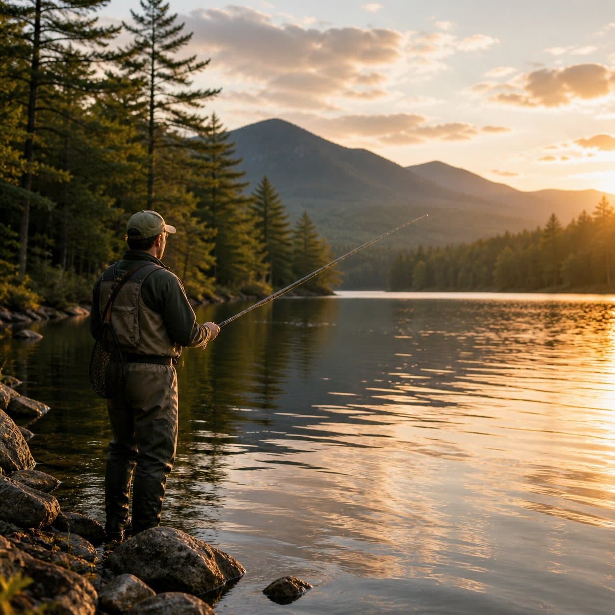
The St. Regis River drains north from the St. Regis lakes toward the Canadian border, offering road-accessible trout water and a flat-water canoe run from Stony Brook through Everton Falls. Multiple put-ins; the lower reaches flow slow and steady through mixed forest and marsh.
St. Regis River has public access. Summits nearby include Black Hill and Leboeuf Hill.
Closest parking lots within range, ranked by walking distance. Accessibility flags come from Google verified-data; surface and capacity from OpenStreetMap. Confirm hours and seasonal closures before you go.
Free, takes thirty seconds. Yours forever.
Every page on this site gets better when readers contribute. Mark a peak you’ve climbed, drop a photo, file a field note, or flag a correction — every addition makes the next visitor’s page better.
Sunrise on the dock, a cairn at the summit, a bend on the trail. Your camera roll, our archive.
Add a photo →Trail conditions, water level, bug pressure, blowdown. The kind of detail that helps the next person plan.
Write a field note →Wrong elevation, outdated access notes, a coordinate that's drifted. We'd rather hear it than miss it.
Suggest an edit →