Photo via Wikipedia (Panther Peak) ↗
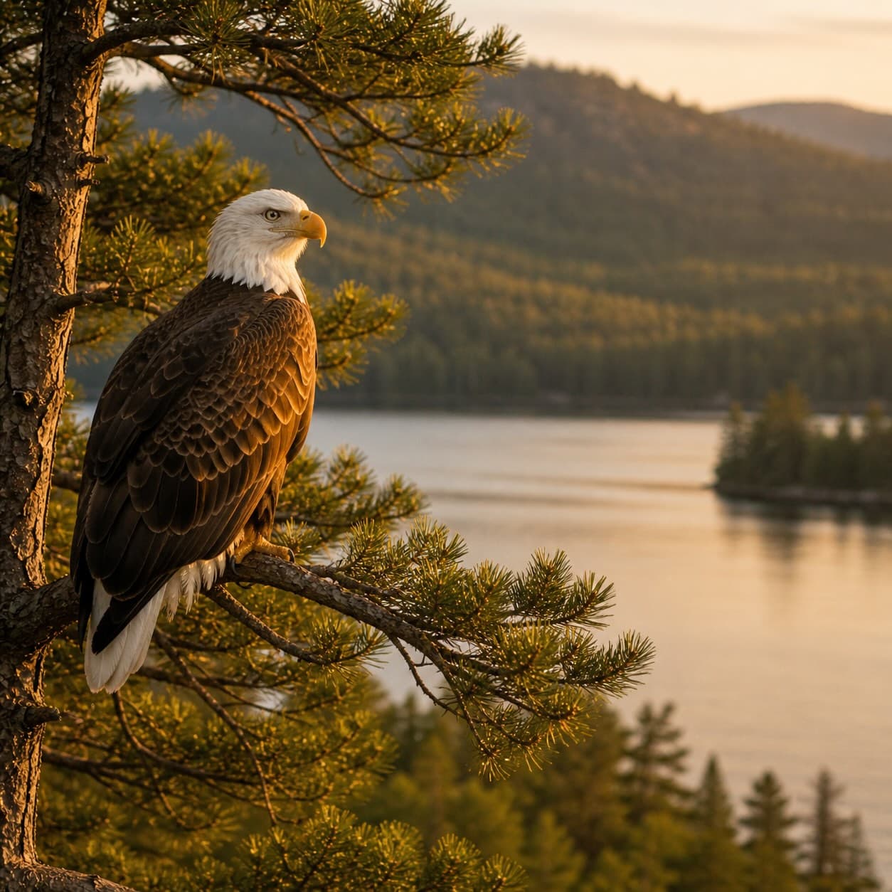
Panther Peak stands at 4,442 feet in the Tupper Lake region — the eighteenth-highest of the 46 High Peaks. The herdpath ascent is steep and trailless, requiring map and compass work, but the wooded summit offers solitude seldom found on the better-known climbs.
Panther Peak is the 18th-highest of the 46 Adirondack High Peaks (the 46ers), at 4,442 ft. Nearby waters include Bradley Pond and Santanoni Brook.
Free, takes thirty seconds. Yours forever.
Every page on this site gets better when readers contribute. Mark a peak you’ve climbed, drop a photo, file a field note, or flag a correction — every addition makes the next visitor’s page better.
Sunrise on the dock, a cairn at the summit, a bend on the trail. Your camera roll, our archive.
Add a photo →Trail conditions, water level, bug pressure, blowdown. The kind of detail that helps the next person plan.
Write a field note →Wrong elevation, outdated access notes, a coordinate that's drifted. We'd rather hear it than miss it.
Suggest an edit →