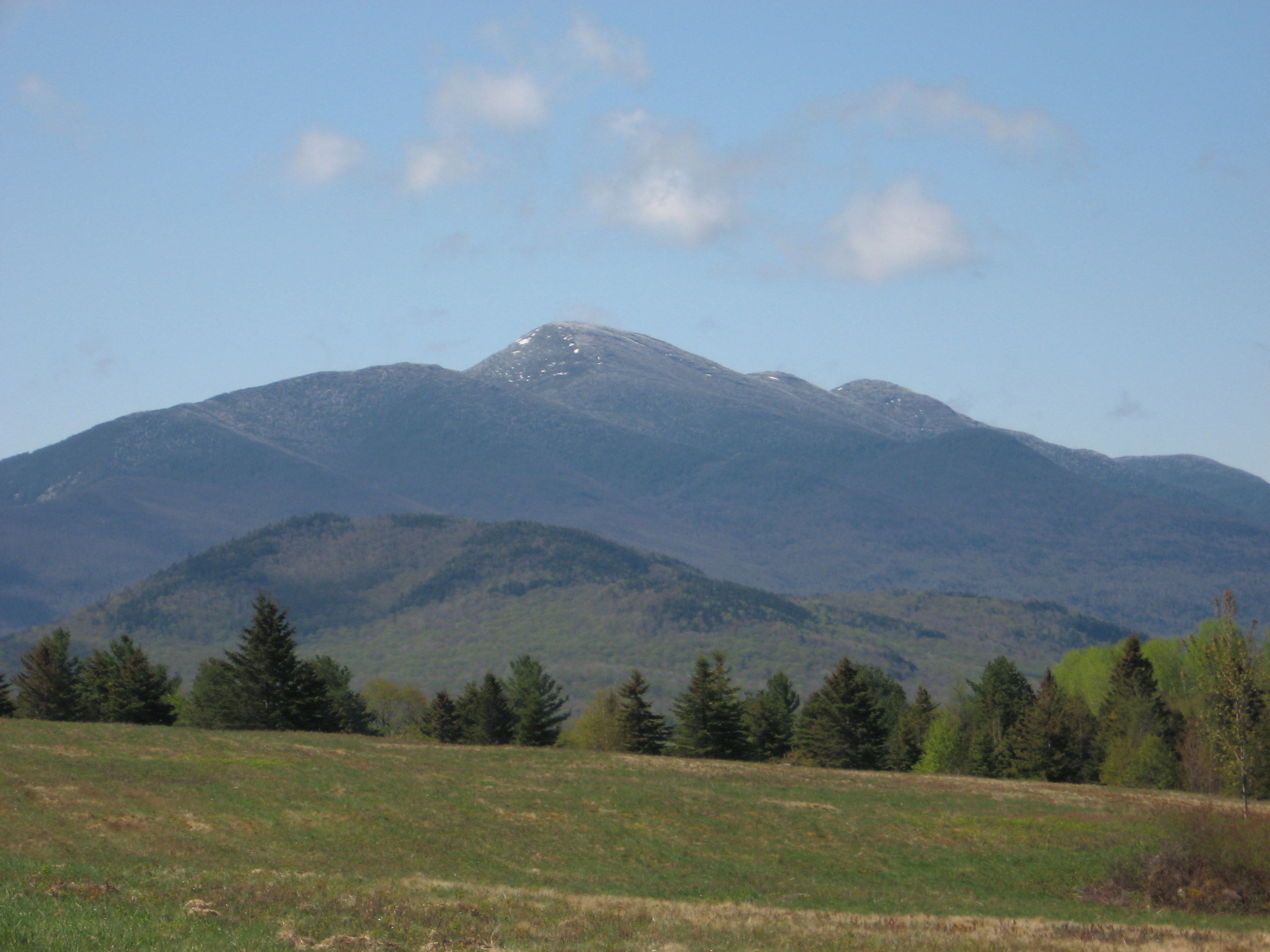
ADIRONDACKREGION.COM
AdirondackRegion.com
Algonquin Peak
Photo via Wikipedia (Algonquin Peak)

Algonquin Peak

Second-tallest peak, alpine summit in the MacIntyre Range.

Add photos & video
Elevation
5,114 ft
Rank
No. 2 of 46
Region
lake placid
Routes
1 mapped
Loading map…
§ Routes to the summit

Trails that reach Algonquin Peak

§ Closest essentials

Nearest, each within 25 miles

Coffee
Origin Coffee
9.6 mi away
Restaurant
Salt of the Earth Bistro
8.9 mi away
General store
The Adirondack Popcorn Company
10.0 mi away
Shelter
Avalanche Camp Lean-to
1.4 mi away
§ Nearby Points of Interest
Lakes & ponds (34)
Lean-tos (41)
  • Beaver Point #21.6 mi
  • Calamity Lean-to2.2 mi
  • Flowed Lands Lean-to2.3 mi
  • Herbert Brook Lean-to1.8 mi
  • Cedar Point Lean-to1.6 mi
  • Beaver Point Lean-to #11.5 mi
  • McMartin Lean-to1.7 mi
  • Scott Clearing Leanto1.8 mi
Primitive campsites (64)
  • NYSDEC1.1 mi
  • NYSDEC1.2 mi
  • Cold Brook Campsite1.2 mi
  • NYSDEC1.3 mi
  • Unnamed campsite1.4 mi
  • Lake Colden East Shore Campsite1.4 mi
  • Unnamed campsite1.5 mi
  • Beaver Point 11.6 mi
§ Nearby parking

4 parking areas

Closest parking lots within range, ranked by walking distance. Accessibility flags come from Google verified-data; surface and capacity from OpenStreetMap. Confirm hours and seasonal closures before you go.

§ The Field Notes

Add to the record.

§ Reader account
Start your Logbook.

Free, takes thirty seconds. Yours forever.

Every page on this site gets better when readers contribute. Mark a peak you’ve climbed, drop a photo, file a field note, or flag a correction — every addition makes the next visitor’s page better.

Field notes and corrections are reviewed before they appear publicly. Photos and Logbook entries post immediately.§ Run an organization tied to this peak? Get in touch →
§ Nearby vacation rentals

Closest cabins, camps & lakefront rentals

§ More field guides

Continue exploring.

All guides
§ Frequently asked