ADIRONDACKREGION.COM
AdirondackRegion.com

Burnt Rock

Burnt Rock rises to 1,519 feet in the southern Adirondacks — a low summit by park standards, but named for historic fire scars. No maintained trail reaches the top; bushwhacking is the only approach.
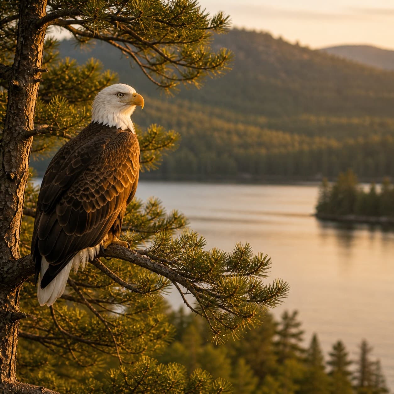
Add photos & video
Elevation
1,519 ft
Rank
Region
tupper lake
Routes
Loading map…
§ Closest essentials

Nearest, each within 25 miles

Coffee
Waypoint Cafe
22.4 mi away
Restaurant
PorkBusters BBQ
9.8 mi away
General store
Otto's Abode
13.8 mi away
Shelter
Burntbridge Pond Lean-To
2.5 mi away
§ Nearby Points of Interest
Lakes & ponds (30)
Lean-tos (3)
  • Burntbridge Pond Lean-to2.5 mi
  • Unnamed lean-to2.7 mi
  • Burntbridge Pond Lean-To2.5 mi
Primitive campsites (8)
  • Pine Pond Point1.4 mi
  • Moakaigan1.5 mi
  • Conifer Hollow1.5 mi
  • Unnamed campsite1.5 mi
  • Vingo1.5 mi
  • Bayview1.6 mi
  • Paradox2.6 mi
  • Long View2.7 mi
§ Nearby parking

2 parking areas

Closest parking lots within range, ranked by walking distance. Accessibility flags come from Google verified-data; surface and capacity from OpenStreetMap. Confirm hours and seasonal closures before you go.

§ The Field Notes

Add to the record.

§ Reader account
Start your Logbook.

Free, takes thirty seconds. Yours forever.

Every page on this site gets better when readers contribute. Mark a peak you’ve climbed, drop a photo, file a field note, or flag a correction — every addition makes the next visitor’s page better.

Field notes and corrections are reviewed before they appear publicly. Photos and Logbook entries post immediately.§ Run an organization tied to this peak? Get in touch →
§ Nearby vacation rentals

Closest cabins, camps & lakefront rentals

§ More field guides

Continue exploring.

All guides
§ Frequently asked