Upper Ausable Lake lies at 2,000 feet beneath the cliffs of Gothics and Sawteeth — 1.5 miles long, remote, and reached by foot via the Ausable Lake Trail from the AMR trailhead. The lake feeds Ausable Falls and sits within the High Peaks Wilderness; camping is limited to AMR designated sites with advance reservations.
Upper Ausable Lake has public access. Summits nearby include Cy Beedes Ledge and Otis Ledge.
Closest parking lots within range, ranked by walking distance. Accessibility flags come from Google verified-data; surface and capacity from OpenStreetMap. Confirm hours and seasonal closures before you go.
+4 more on the map above
From the people who’ve been here, plus what Google has on file.
Free, takes thirty seconds. Yours forever.
Every page on this site gets better when readers contribute. Mark a peak you’ve climbed, drop a photo, file a field note, or flag a correction — every addition makes the next visitor’s page better.
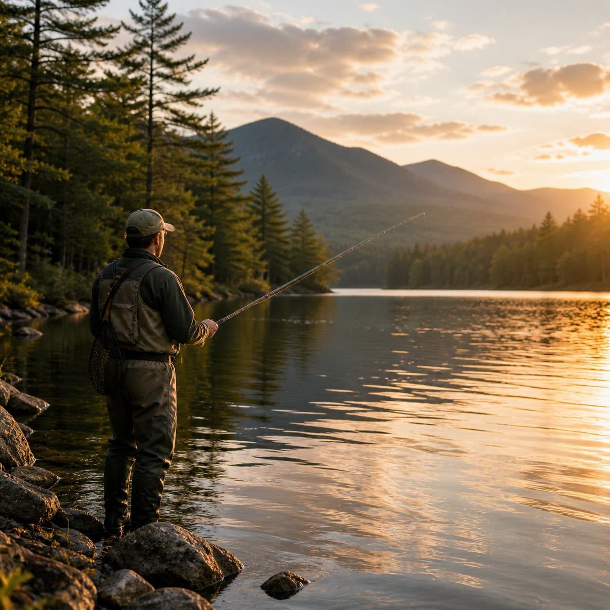
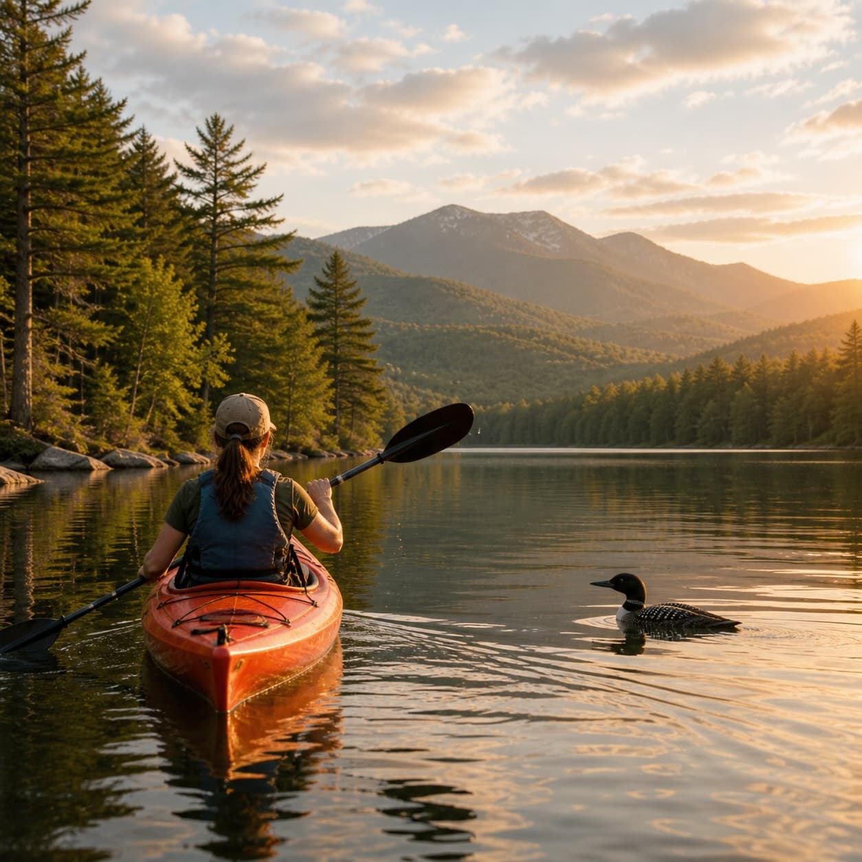
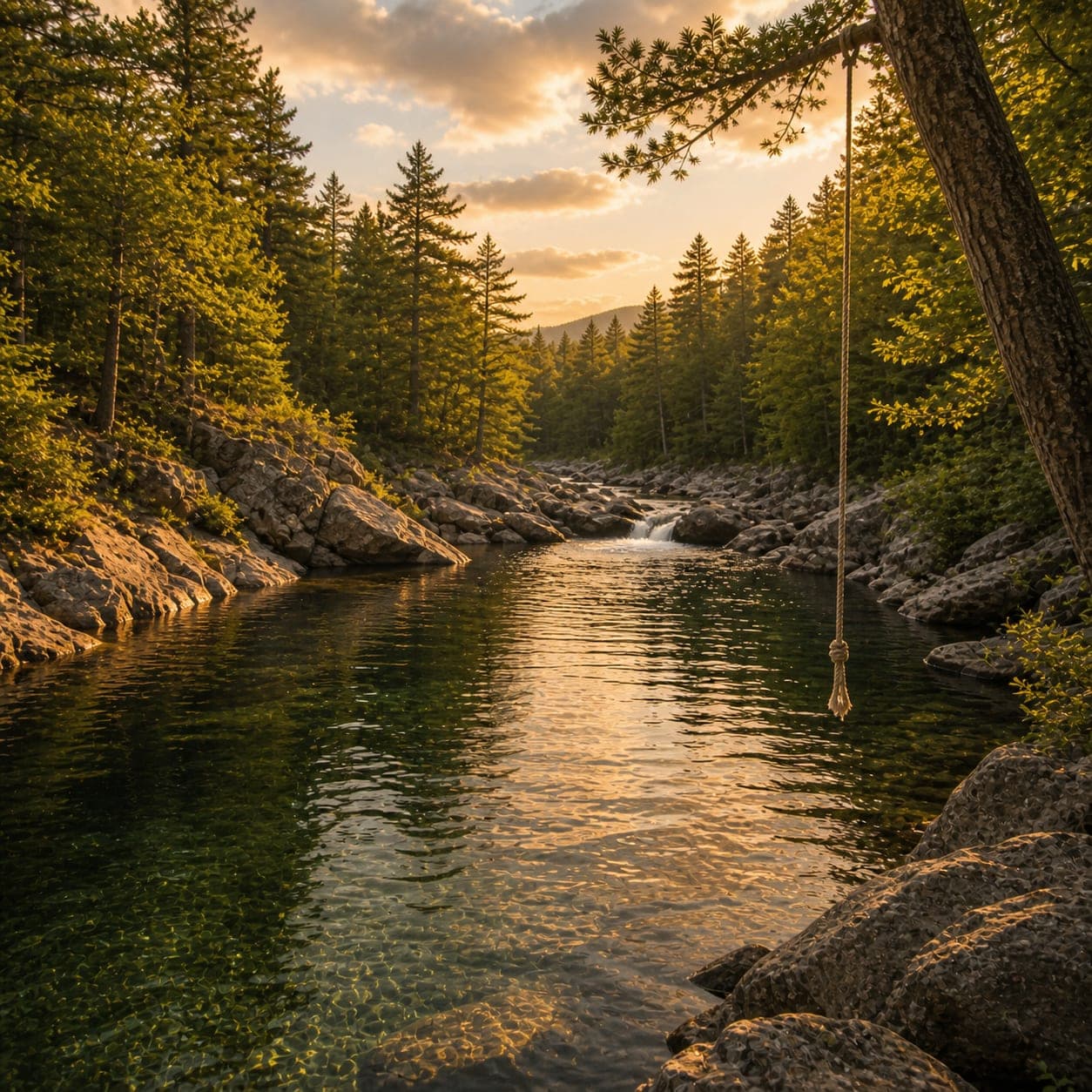
Sunrise on the dock, a cairn at the summit, a bend on the trail. Your camera roll, our archive.
Add a photo →Trail conditions, water level, bug pressure, blowdown. The kind of detail that helps the next person plan.
Write a field note →Wrong elevation, outdated access notes, a coordinate that's drifted. We'd rather hear it than miss it.
Suggest an edit →