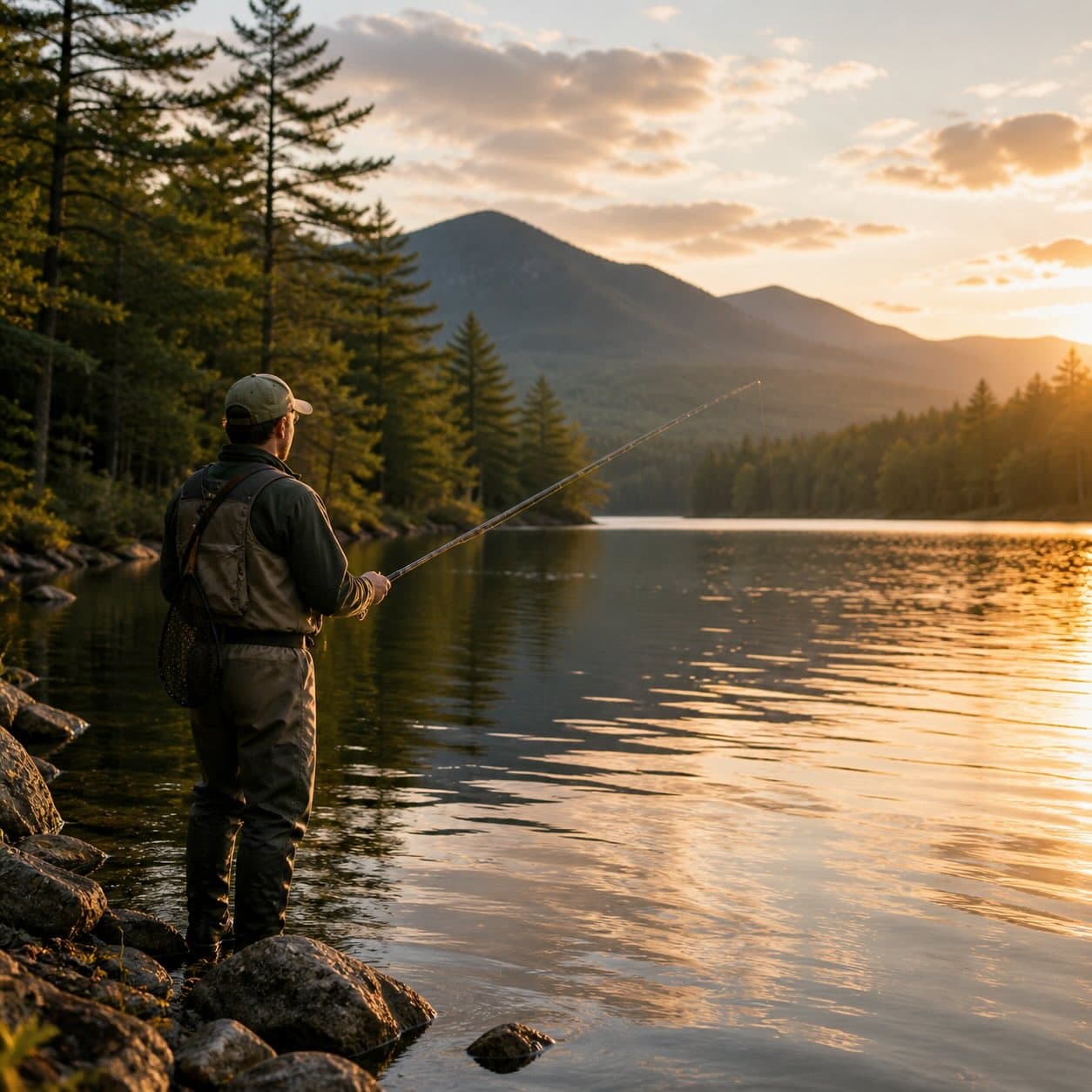
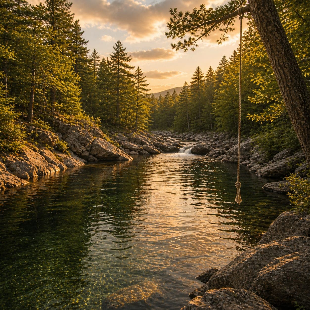
The Moose River drains west from the Moose River Plains through Old Forge to the Black River — wild-trout water in the headwaters, class II-III whitewater and mellower family sections downstream. Access points span the corridor; flow depends on season and dam releases.
Moose River has public access. Summits nearby include Moulin Mountain and McCauley Mountain.
Closest parking lots within range, ranked by walking distance. Accessibility flags come from Google verified-data; surface and capacity from OpenStreetMap. Confirm hours and seasonal closures before you go.
No public beaches listed within 7 mi yet.
No bait & tackle shops listed yet.
Source: NYS DEC Stocking Records via data.ny.gov · Annual refresh
Free, takes thirty seconds. Yours forever.
Every page on this site gets better when readers contribute. Mark a peak you’ve climbed, drop a photo, file a field note, or flag a correction — every addition makes the next visitor’s page better.
Sunrise on the dock, a cairn at the summit, a bend on the trail. Your camera roll, our archive.
Add a photo →Trail conditions, water level, bug pressure, blowdown. The kind of detail that helps the next person plan.
Write a field note →Wrong elevation, outdated access notes, a coordinate that's drifted. We'd rather hear it than miss it.
Suggest an edit →