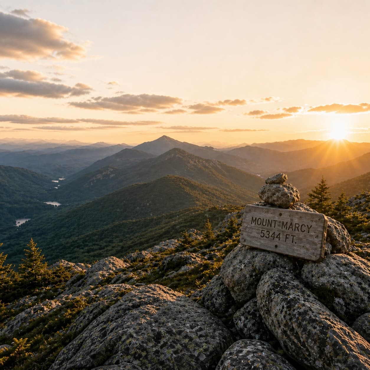
Managed by the New York State Department of Environmental Conservation and marked by yellow discs, this twelve-kilometer trail winds through a varied stretch of Adirondack backcountry that is reported to offer both solitude and a characteristic North Woods atmosphere. The route is often chosen by those seeking a full day's outing, threading through forest and terrain that typify the region's quieter corners. Though the trail's condition varies with season and maintenance cycles, it generally provides access to country less traveled than the High Peaks corridor.
Millman Pond Trail runs 2.9 miles (4.7 km) with about 1,337 feet of elevation gain — a demanding hike, with a moderate, steady climb, about 4 h 30 min on the trail. New York State Department of Environmental Conservation maintains the route.
Closest parking lots within range, ranked by walking distance. Accessibility flags come from Google verified-data; surface and capacity from OpenStreetMap. Confirm hours and seasonal closures before you go.
+32 more on the map above
Free, takes thirty seconds. Yours forever.
Every page on this site gets better when readers contribute. Mark a peak you’ve climbed, drop a photo, file a field note, or flag a correction — every addition makes the next visitor’s page better.
Sunrise on the dock, a cairn at the summit, a bend on the trail. Your camera roll, our archive.
Add a photo →Trail conditions, water level, bug pressure, blowdown. The kind of detail that helps the next person plan.
Write a field note →Wrong elevation, outdated access notes, a coordinate that's drifted. We'd rather hear it than miss it.
Suggest an edit →