
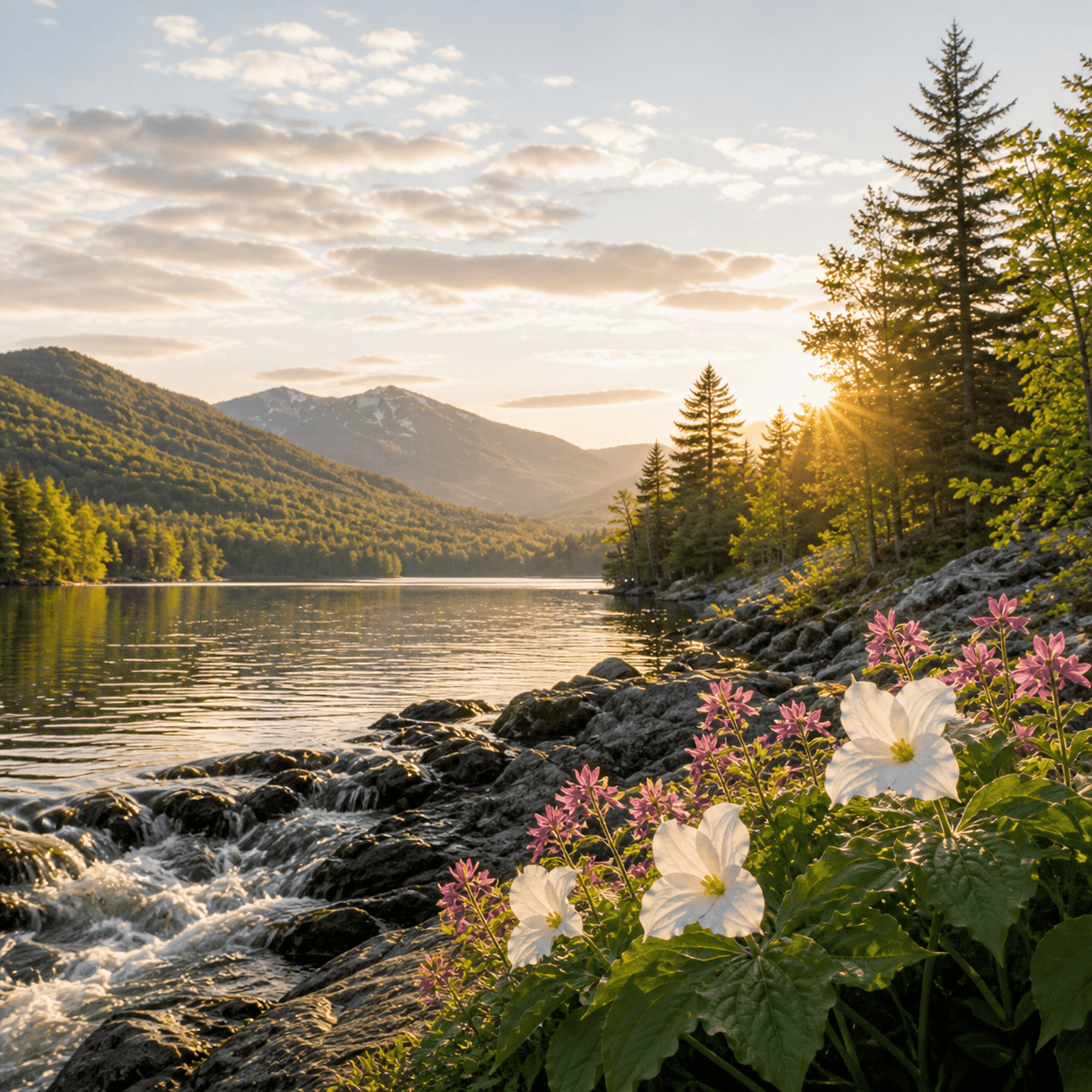
Two Brooks flows through the Lake Placid region as one of those named tributaries that marks terrain more than recreation — a reference point on USGS quads and old property maps, not a fishing destination or paddling route. Without stocked trout or maintained access, it functions as drainage and corridor: the kind of water you cross on bushwhacks or notice from a dirt road, threading through second-growth hardwoods between better-known lakes. If you're hunting brook trout in the Lake Placid drainage, you're working upstream from known water with a topo map and realistic expectations. Most named streams in this region connect to something — check the hydrology and walk it if you're curious.
No bait & tackle shops listed yet.
Closest parking lots within range, ranked by walking distance. Accessibility flags come from Google verified-data; surface and capacity from OpenStreetMap. Confirm hours and seasonal closures before you go.
+155 more on the map above
Free, takes thirty seconds. Yours forever.
Every page on this site gets better when readers contribute. Mark a peak you’ve climbed, drop a photo, file a field note, or flag a correction — every addition makes the next visitor’s page better.
Sunrise on the dock, a cairn at the summit, a bend on the trail. Your camera roll, our archive.
Add a photo →Trail conditions, water level, bug pressure, blowdown. The kind of detail that helps the next person plan.
Write a field note →Wrong elevation, outdated access notes, a coordinate that's drifted. We'd rather hear it than miss it.
Suggest an edit →

What to do, where to stay, and what's reopening across the Park as the snow melts and the calendar fills.
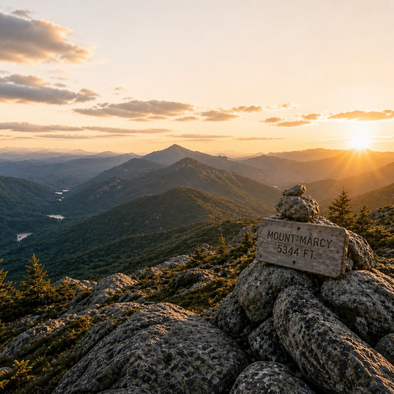
A complete planning guide: difficulty by peak, common combo days, seasonal realities, and a sortable, filterable table of every summit.
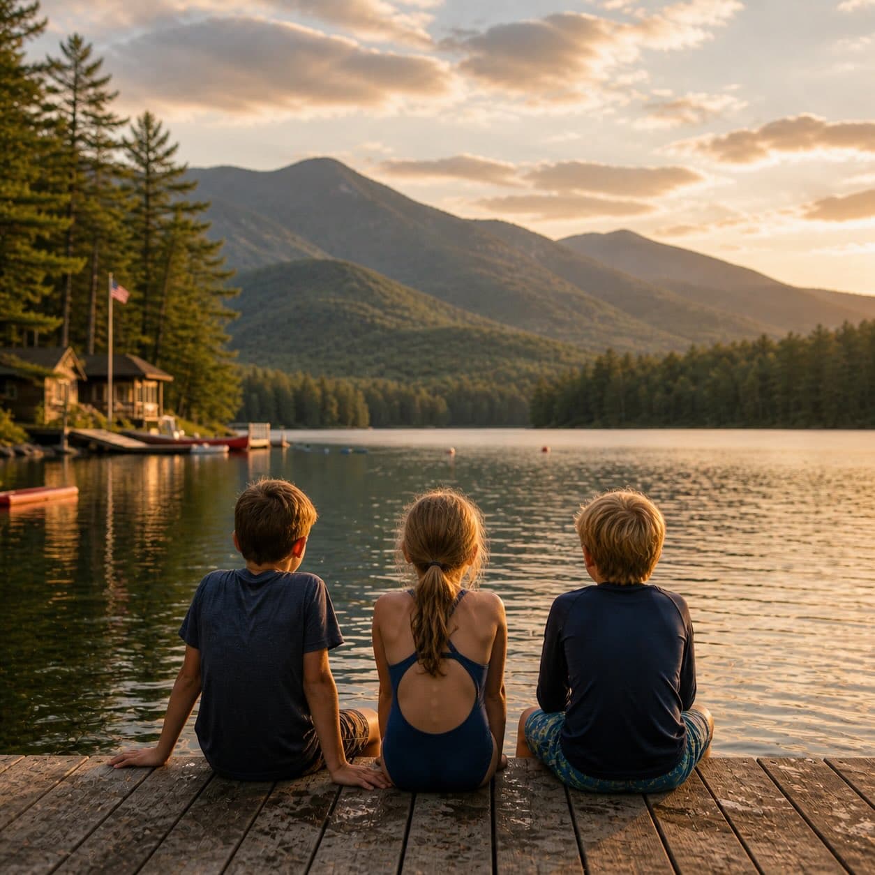
Overnight, day, and trip camps in the Park — the camp belt, choosing the right fit, costs and financial aid, ACA accreditation, and the questions every parent should ask before they commit.