
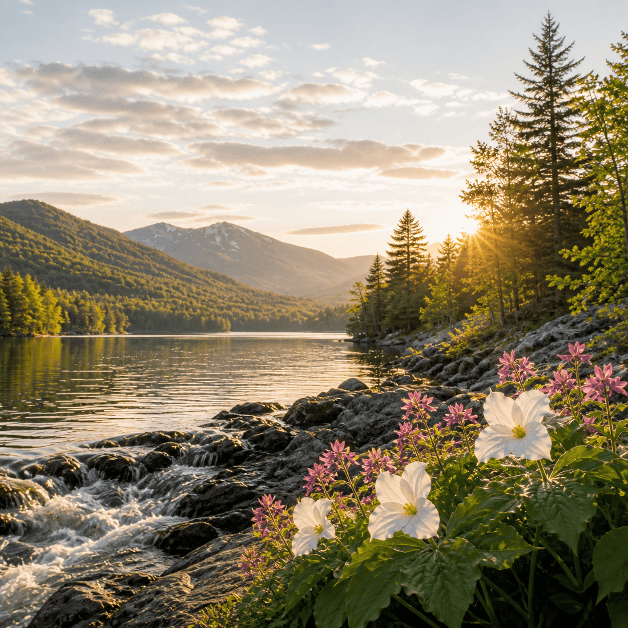
Twin Ponds sits in the Paradox Lake region — a 9-acre pair that keeps a low profile in a corner of the Park better known for its larger named waters and the odd geology that gives the area its name. No fish stocking records on file, no nearby trailheads that put it on the standard hiking circuit. Access details are scarce, which usually means either private land complications or a bushwhack situation — worth confirming with the DEC Ray Brook office or the local town clerk before planning a trip. If you're already in the Paradox Lake area and looking for something off-menu, Twin Ponds is on the map; just do the homework first.
No proprietor marinas listed within 7 mi yet.
No public beaches listed within 7 mi yet.
No bait & tackle shops listed yet.
Closest parking lots within range, ranked by walking distance. Accessibility flags come from Google verified-data; surface and capacity from OpenStreetMap. Confirm hours and seasonal closures before you go.
+40 more on the map above
Free, takes thirty seconds. Yours forever.
Every page on this site gets better when readers contribute. Mark a peak you’ve climbed, drop a photo, file a field note, or flag a correction — every addition makes the next visitor’s page better.
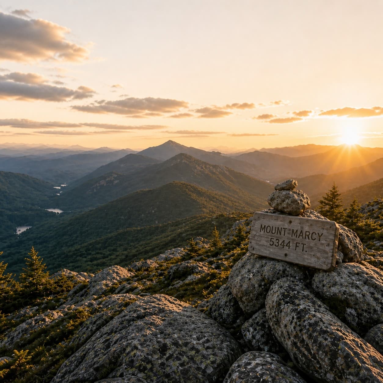
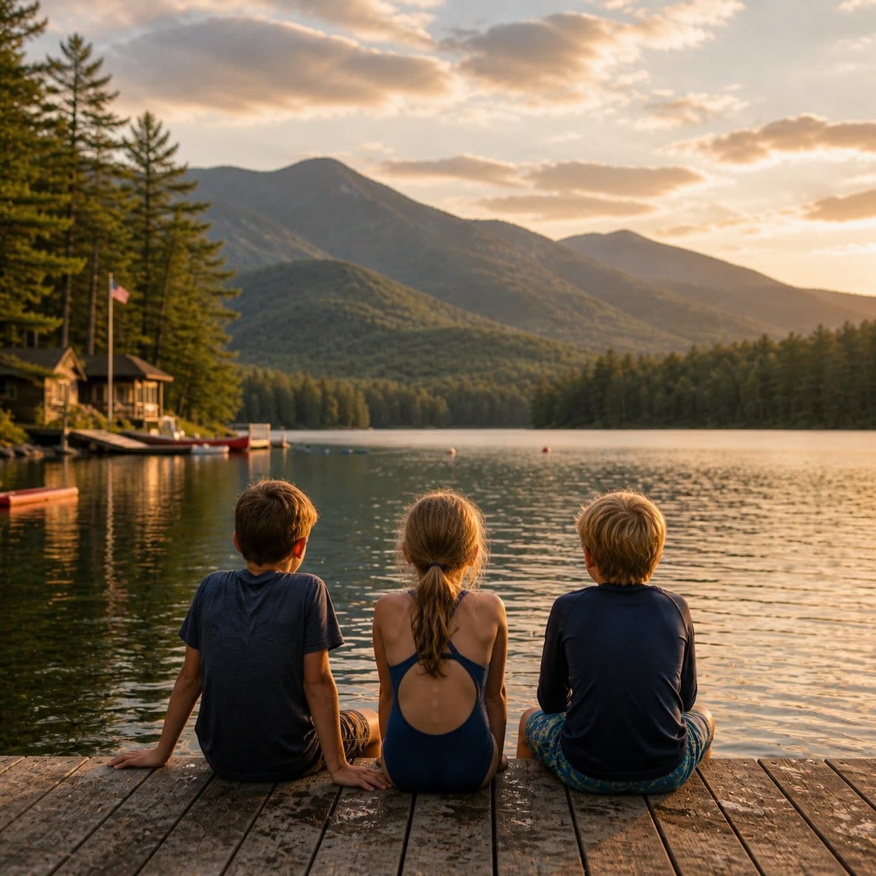
Sunrise on the dock, a cairn at the summit, a bend on the trail. Your camera roll, our archive.
Add a photo →Trail conditions, water level, bug pressure, blowdown. The kind of detail that helps the next person plan.
Write a field note →Wrong elevation, outdated access notes, a coordinate that's drifted. We'd rather hear it than miss it.
Suggest an edit →
What to do, where to stay, and what's reopening across the Park as the snow melts and the calendar fills.
A complete planning guide: difficulty by peak, common combo days, seasonal realities, and a sortable, filterable table of every summit.
Overnight, day, and trip camps in the Park — the camp belt, choosing the right fit, costs and financial aid, ACA accreditation, and the questions every parent should ask before they commit.