
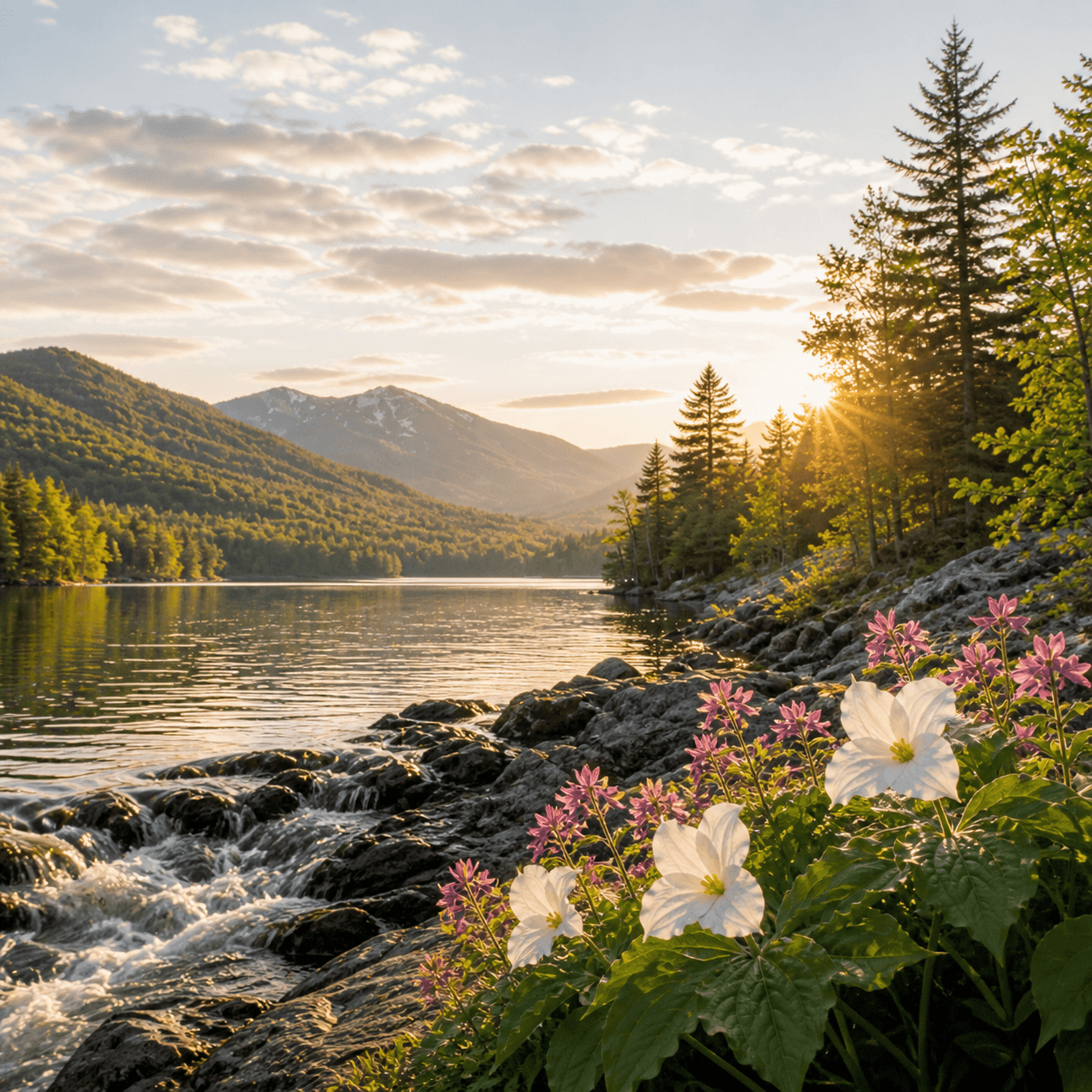
Fish Pond holds 119 acres in the Tupper Lake region — mid-sized water in an area where ponds routinely stretch into the 200–300-acre range and most get accessed by boat or long trail. Without species data on file, it's either lightly fished or quietly productive in that unpublicized Adirondack way where locals know and visitors pass by. The name tells you everything and nothing: functional, unadorned, the kind of label that stuck because someone caught dinner here in 1890 and no one bothered to romanticize it. Worth a deeper look if you're already in the Tupper system and mapping out lesser-known paddles.
No proprietor marinas listed within 7 mi yet.
No bait & tackle shops listed yet.
Closest parking lots within range, ranked by walking distance. Accessibility flags come from Google verified-data; surface and capacity from OpenStreetMap. Confirm hours and seasonal closures before you go.
+55 more on the map above
Free, takes thirty seconds. Yours forever.
Every page on this site gets better when readers contribute. Mark a peak you’ve climbed, drop a photo, file a field note, or flag a correction — every addition makes the next visitor’s page better.
Sunrise on the dock, a cairn at the summit, a bend on the trail. Your camera roll, our archive.
Add a photo →Trail conditions, water level, bug pressure, blowdown. The kind of detail that helps the next person plan.
Write a field note →Wrong elevation, outdated access notes, a coordinate that's drifted. We'd rather hear it than miss it.
Suggest an edit →
What to do, where to stay, and what's reopening across the Park as the snow melts and the calendar fills.
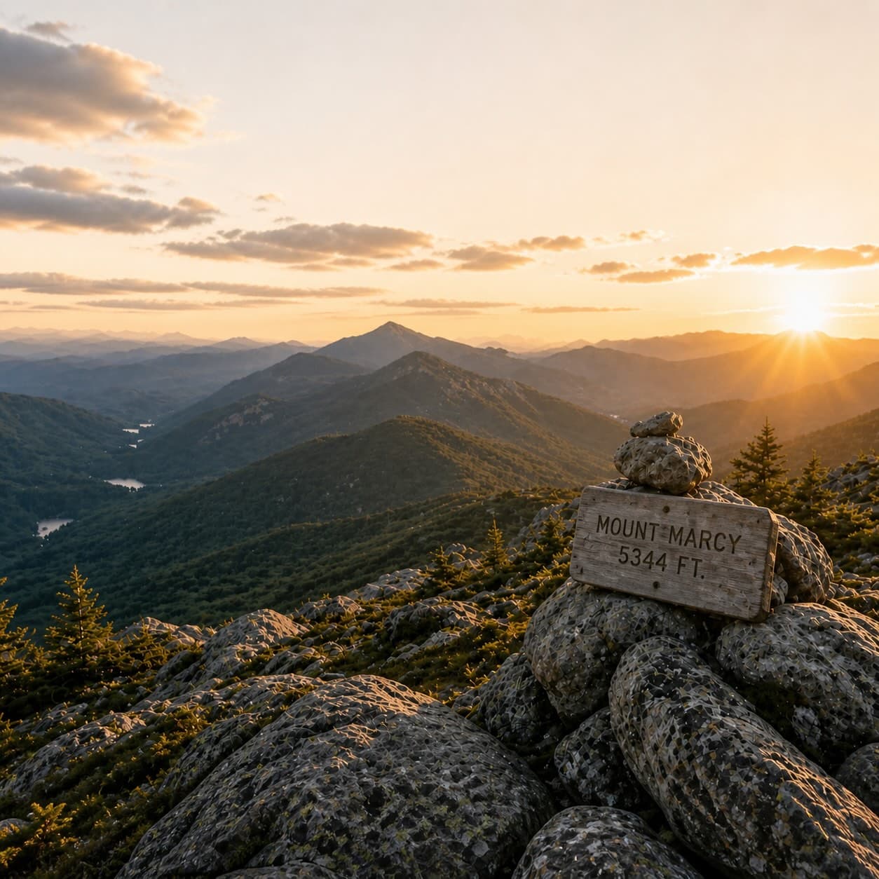
A complete planning guide: difficulty by peak, common combo days, seasonal realities, and a sortable, filterable table of every summit.
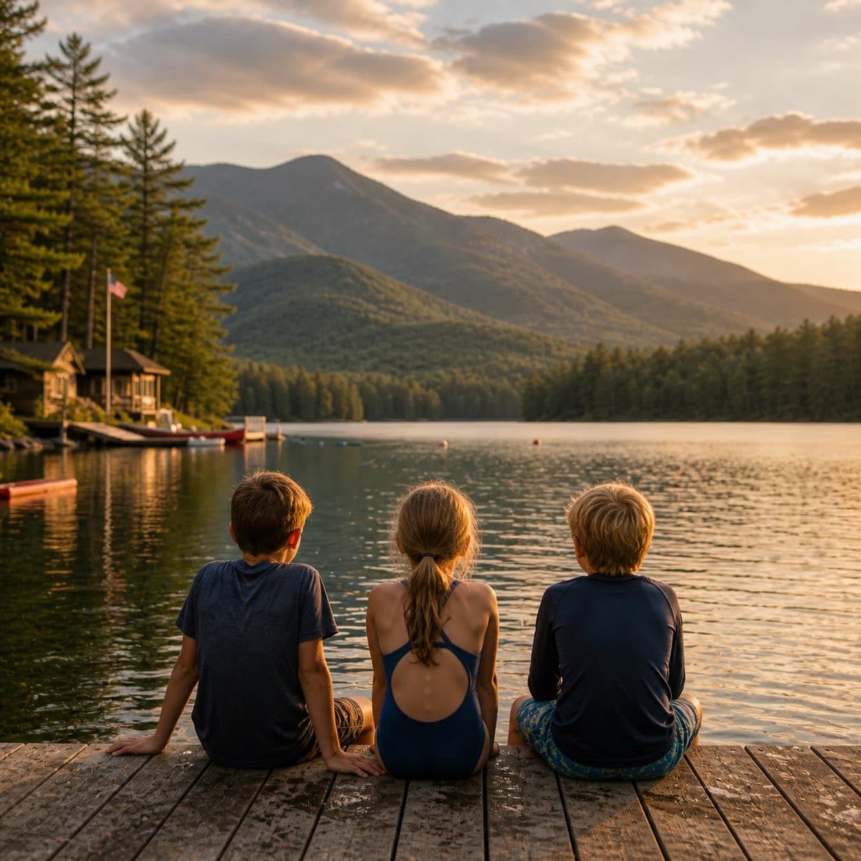
Overnight, day, and trip camps in the Park — the camp belt, choosing the right fit, costs and financial aid, ACA accreditation, and the questions every parent should ask before they commit.