
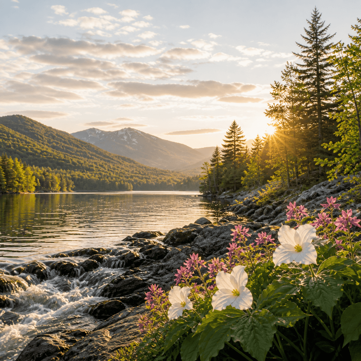
Buckhorn Ponds — plural, though the combined surface barely breaks one acre — sits somewhere in the Speculator township with no formal trail access and no DEC presence on record. These are the kind of named waters that show up on USGS quads but not in guidebooks: wetland pockets in second-growth forest, more beaver meadow than open water, the sort of place you'd only visit if you were bushwhacking between points or chasing old property lines. No fish data, no campsites, no reason to go unless you're the type who needs to see every blue line on the map.
Closest parking lots within range, ranked by walking distance. Accessibility flags come from Google verified-data; surface and capacity from OpenStreetMap. Confirm hours and seasonal closures before you go.
+16 more on the map above
Free, takes thirty seconds. Yours forever.
Every page on this site gets better when readers contribute. Mark a peak you’ve climbed, drop a photo, file a field note, or flag a correction — every addition makes the next visitor’s page better.
Sunrise on the dock, a cairn at the summit, a bend on the trail. Your camera roll, our archive.
Add a photo →Trail conditions, water level, bug pressure, blowdown. The kind of detail that helps the next person plan.
Write a field note →Wrong elevation, outdated access notes, a coordinate that's drifted. We'd rather hear it than miss it.
Suggest an edit →

What to do, where to stay, and what's reopening across the Park as the snow melts and the calendar fills.
A complete planning guide: difficulty by peak, common combo days, seasonal realities, and a sortable, filterable table of every summit.
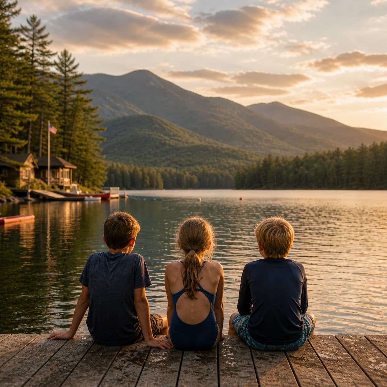
Overnight, day, and trip camps in the Park — the camp belt, choosing the right fit, costs and financial aid, ACA accreditation, and the questions every parent should ask before they commit.