
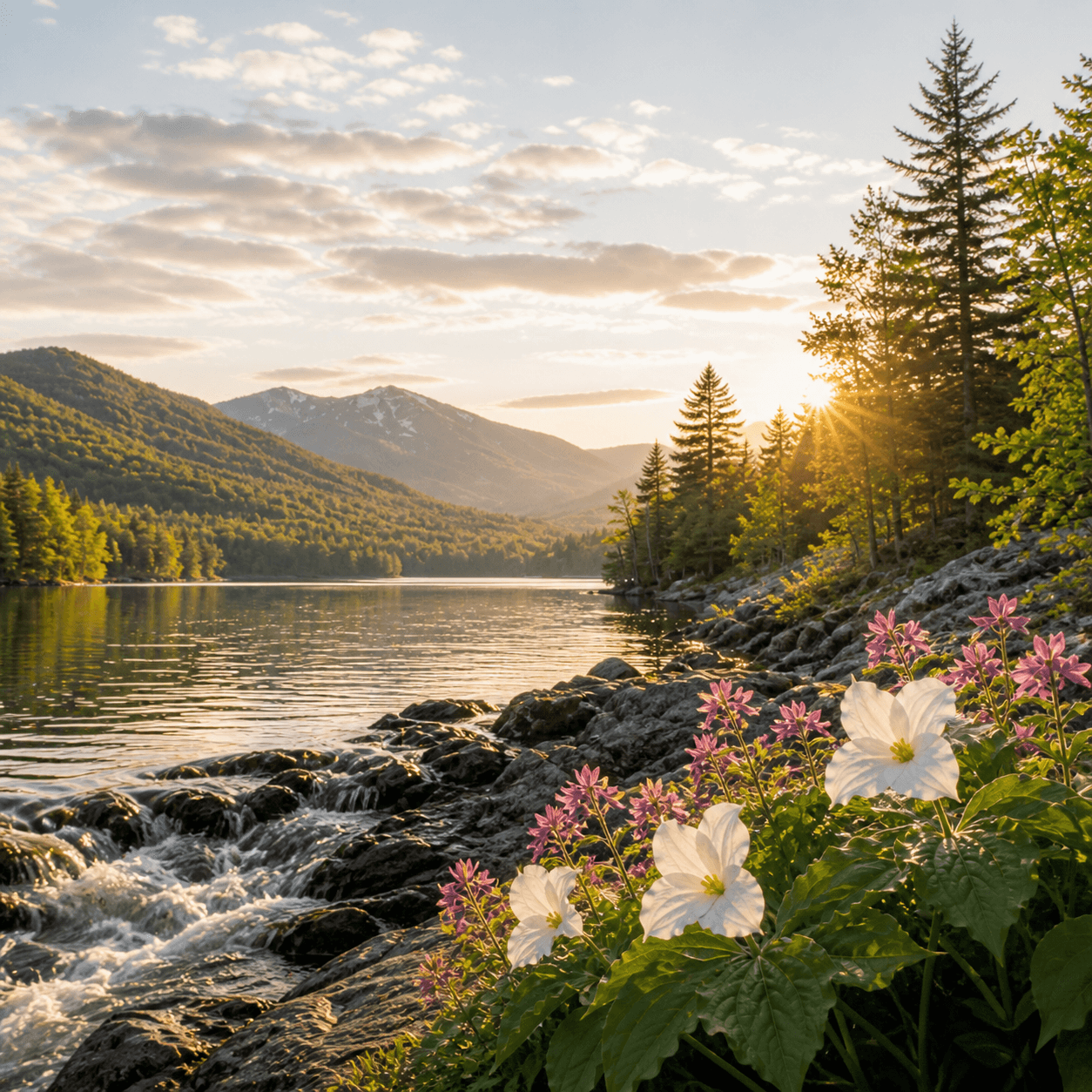
Buckhorn Ponds — a seven-acre pair tucked into the woods south of Speculator — sits far enough off the main resort corridors that it doesn't show up on most paddler itineraries, and the state records don't list fish species data, which usually means either occasional brookies or none at all. Access details are thin on the ground; this is backcountry that requires either local knowledge or a willingness to bushwhack with a topo map and a compass bearing. The ponds drain south toward the Sacandaga drainage — remote, quiet, and worth the effort if you're already in the neighborhood and looking for water that doesn't appear on Instagram.
Closest parking lots within range, ranked by walking distance. Accessibility flags come from Google verified-data; surface and capacity from OpenStreetMap. Confirm hours and seasonal closures before you go.
+17 more on the map above
Free, takes thirty seconds. Yours forever.
Every page on this site gets better when readers contribute. Mark a peak you’ve climbed, drop a photo, file a field note, or flag a correction — every addition makes the next visitor’s page better.
Sunrise on the dock, a cairn at the summit, a bend on the trail. Your camera roll, our archive.
Add a photo →Trail conditions, water level, bug pressure, blowdown. The kind of detail that helps the next person plan.
Write a field note →Wrong elevation, outdated access notes, a coordinate that's drifted. We'd rather hear it than miss it.
Suggest an edit →

What to do, where to stay, and what's reopening across the Park as the snow melts and the calendar fills.
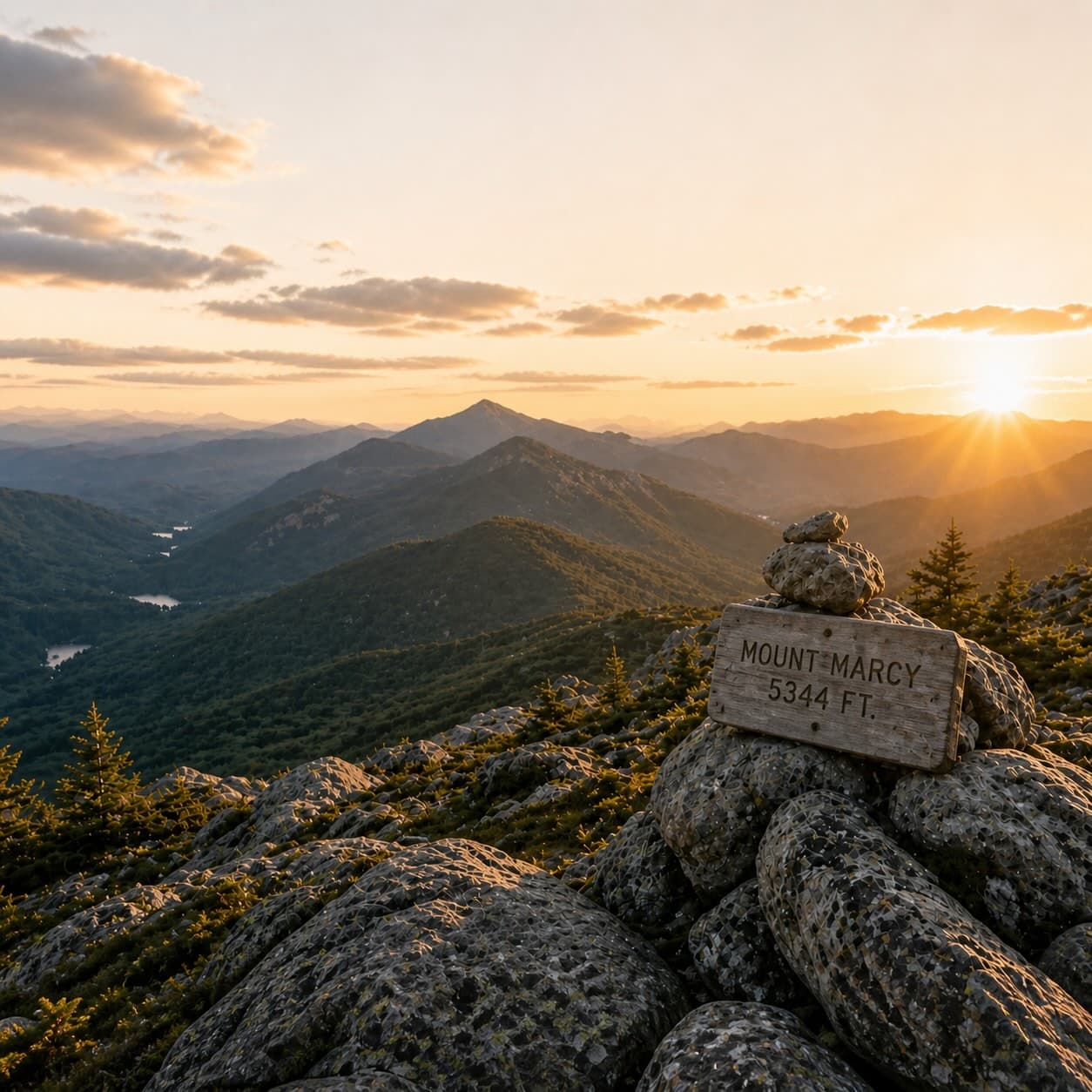
A complete planning guide: difficulty by peak, common combo days, seasonal realities, and a sortable, filterable table of every summit.
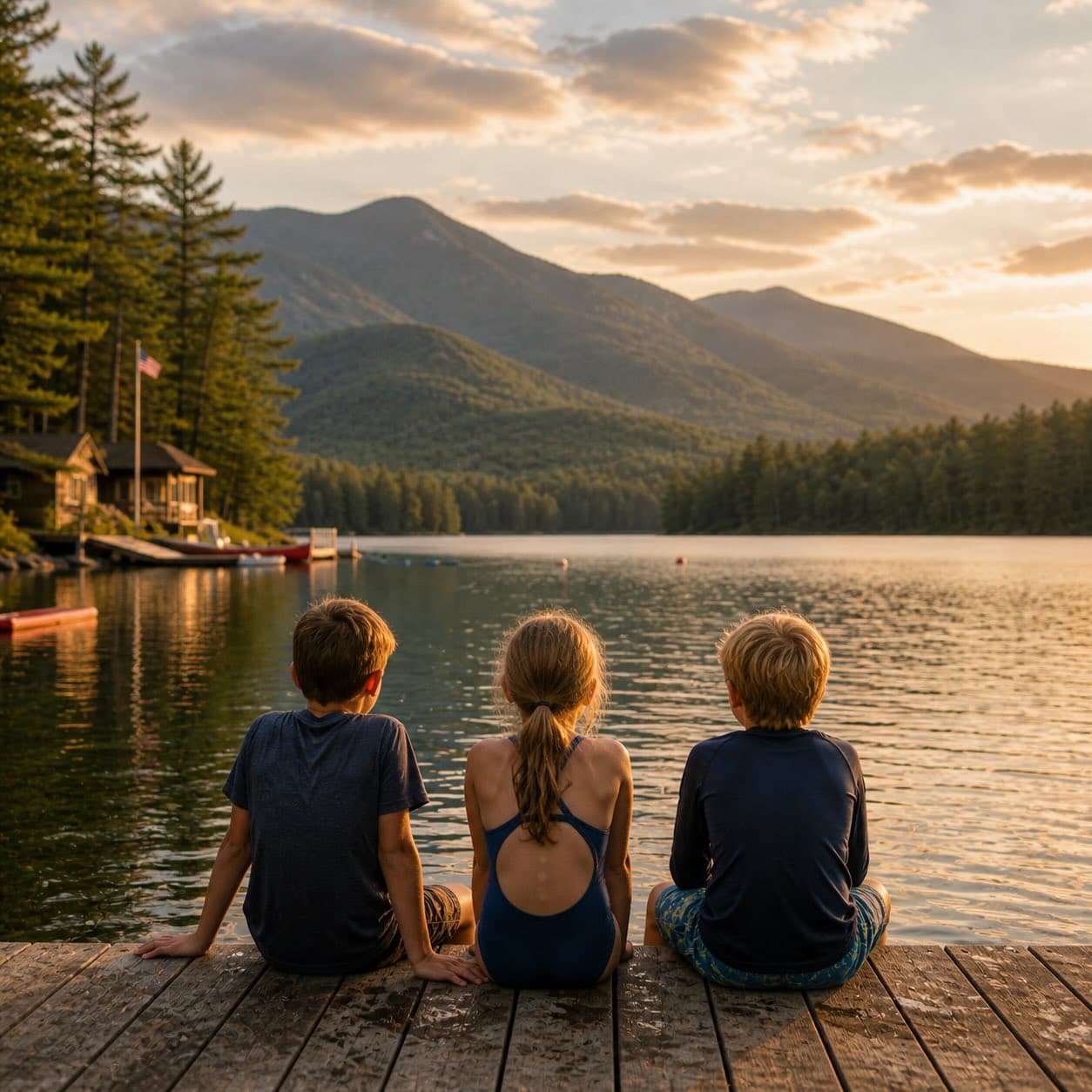
Overnight, day, and trip camps in the Park — the camp belt, choosing the right fit, costs and financial aid, ACA accreditation, and the questions every parent should ask before they commit.