West Ponds — all four acres of it — sits in the Old Forge area without much in the way of documented access or fishery records, which in this part of the Adirondacks usually means private land or a water that fell off the stocking rotation decades ago. The name suggests it's part of a cluster, likely with an East Pond somewhere in the township plat, but the DEC atlas doesn't list trails or put-ins. If you're hunting it down, start with the town clerk's office or a good topo map — half the ponds in this region are either club water or logging-road access that disappeared when the gates went up in the '80s.
Closest parking lots within range, ranked by walking distance. Accessibility flags come from Google verified-data; surface and capacity from OpenStreetMap. Confirm hours and seasonal closures before you go.
+7 more on the map above
Free, takes thirty seconds. Yours forever.
Every page on this site gets better when readers contribute. Mark a peak you’ve climbed, drop a photo, file a field note, or flag a correction — every addition makes the next visitor’s page better.
Sunrise on the dock, a cairn at the summit, a bend on the trail. Your camera roll, our archive.
Add a photo →Trail conditions, water level, bug pressure, blowdown. The kind of detail that helps the next person plan.
Write a field note →Wrong elevation, outdated access notes, a coordinate that's drifted. We'd rather hear it than miss it.
Suggest an edit →No vacation rentals listed nearby yet.
Cabins, camps, and lakefront rentals appear here as the directory grows. Check back soon.
Have a rental? List yours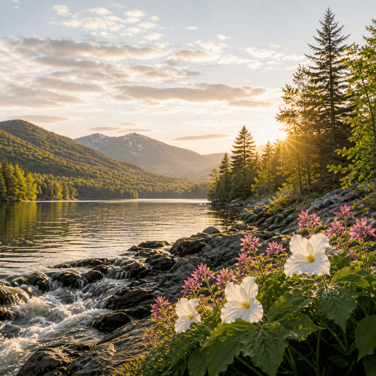
What to do, where to stay, and what's reopening across the Park as the snow melts and the calendar fills.
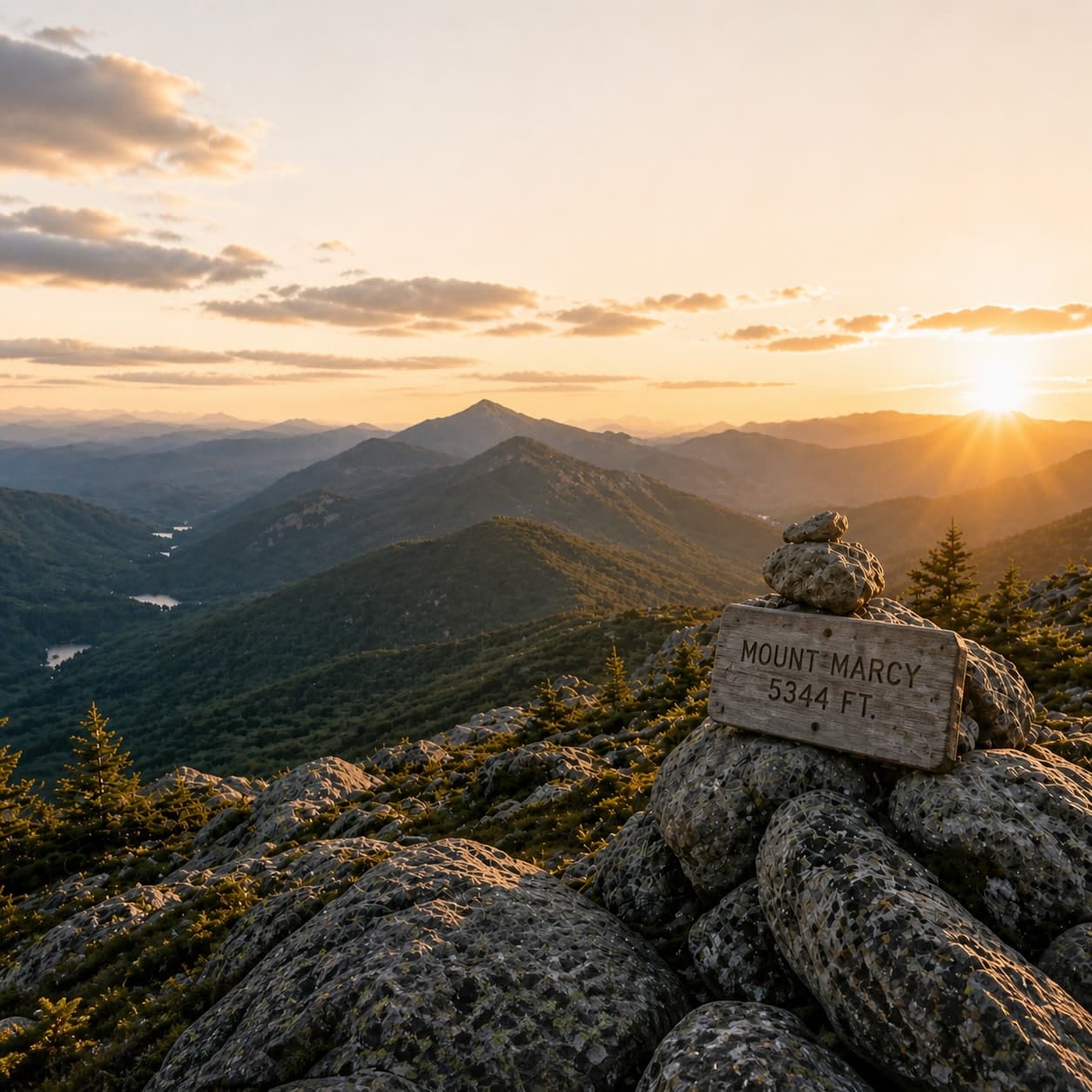
A complete planning guide: difficulty by peak, common combo days, seasonal realities, and a sortable, filterable table of every summit.
Overnight, day, and trip camps in the Park — the camp belt, choosing the right fit, costs and financial aid, ACA accreditation, and the questions every parent should ask before they commit.