
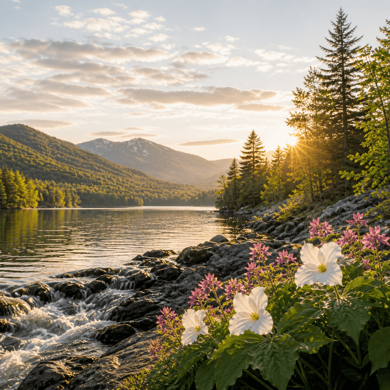
Trout Brook West Branch drains a stretch of backcountry west of Schroon Lake — modest water in the kind of low-profile drainage that sees more deer and fisher than foot traffic. No formal trailhead or established angler access here; this is roadside-map water, the kind you cross on old logging roads or spot from a fire tower ridge and file away for later. The state owns parcels along the drainage, but much of the surrounding land is private timber or club holdings — check your atlas before you bushwhack. If you're moving through this country in spring, expect brookies in the headwater feeder threads, but don't expect a maintained path to get you there.
No proprietor marinas listed within 7 mi yet.
No public beaches listed within 7 mi yet.
No bait & tackle shops listed yet.
Closest parking lots within range, ranked by walking distance. Accessibility flags come from Google verified-data; surface and capacity from OpenStreetMap. Confirm hours and seasonal closures before you go.
+7 more on the map above
Free, takes thirty seconds. Yours forever.
Every page on this site gets better when readers contribute. Mark a peak you’ve climbed, drop a photo, file a field note, or flag a correction — every addition makes the next visitor’s page better.
Sunrise on the dock, a cairn at the summit, a bend on the trail. Your camera roll, our archive.
Add a photo →Trail conditions, water level, bug pressure, blowdown. The kind of detail that helps the next person plan.
Write a field note →Wrong elevation, outdated access notes, a coordinate that's drifted. We'd rather hear it than miss it.
Suggest an edit →

What to do, where to stay, and what's reopening across the Park as the snow melts and the calendar fills.
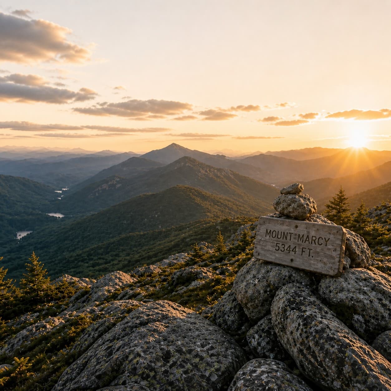
A complete planning guide: difficulty by peak, common combo days, seasonal realities, and a sortable, filterable table of every summit.
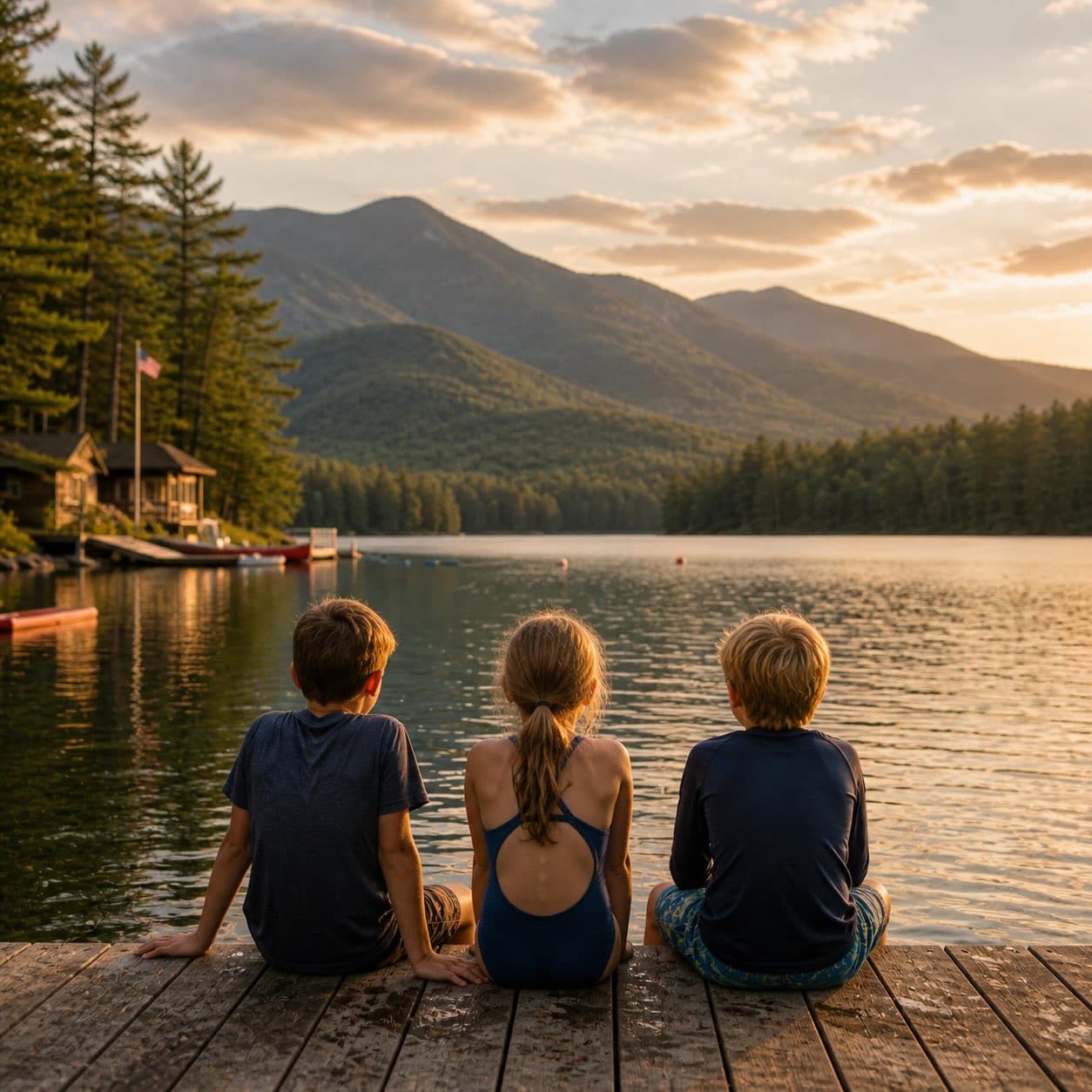
Overnight, day, and trip camps in the Park — the camp belt, choosing the right fit, costs and financial aid, ACA accreditation, and the questions every parent should ask before they commit.