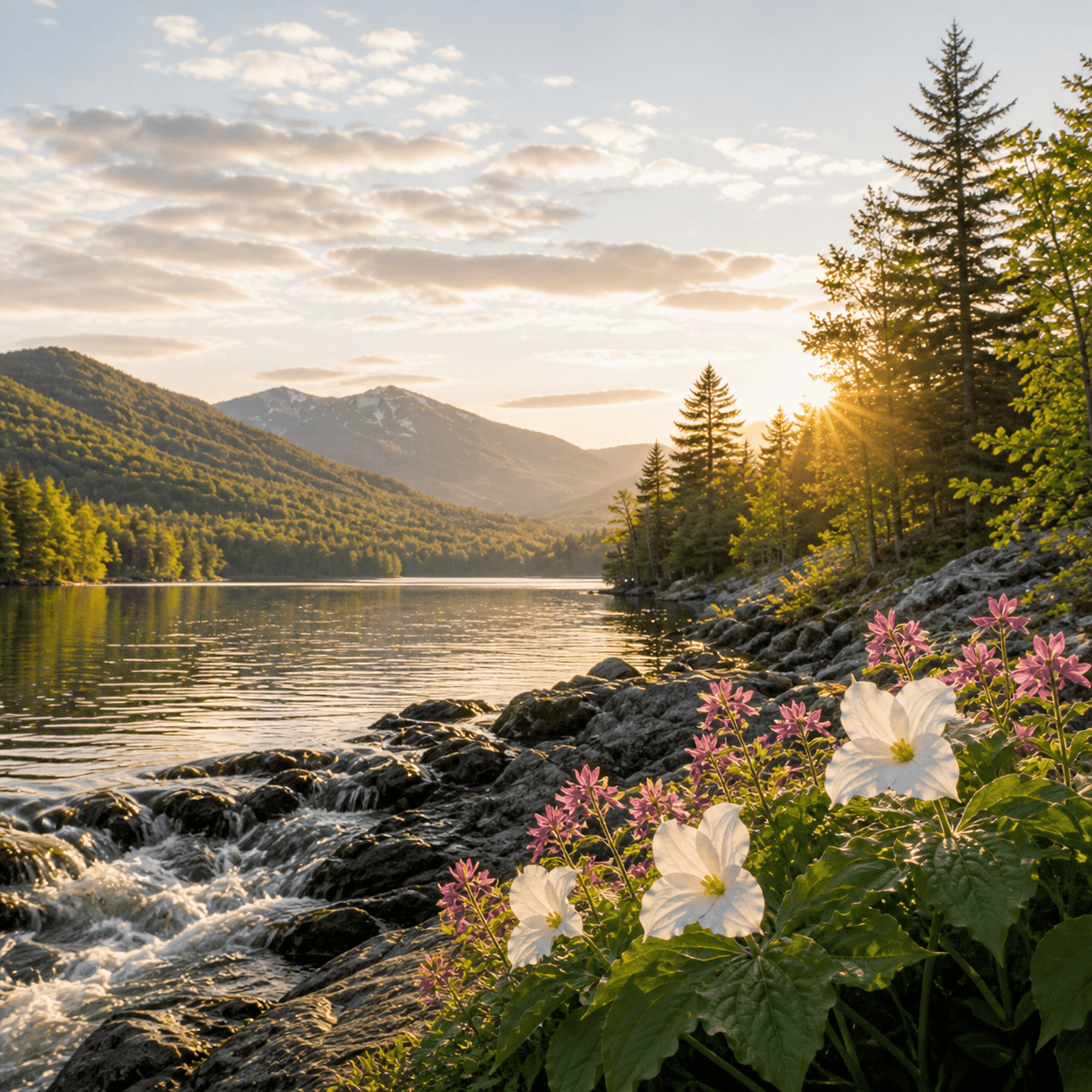
Risedorph Stream is one of the smaller tributaries feeding the Great Sacandaga Lake system — likely a seasonal flow corridor given the absence of fisheries data and named access points in the DEC records. Streams like this tend to run high during snowmelt and after heavy rain, then drop to intermittent pools by midsummer, serving more as drainage channels than paddling or fishing destinations. The Great Sacandaga basin contains dozens of these unnamed and lightly-documented feeder streams, most of which see more use from deer and beaver than from anglers. If you're exploring the shoreline by boat, expect marshy inlet zones rather than defined banks.
Closest parking lots within range, ranked by walking distance. Accessibility flags come from Google verified-data; surface and capacity from OpenStreetMap. Confirm hours and seasonal closures before you go.
+136 more on the map above
Free, takes thirty seconds. Yours forever.
Every page on this site gets better when readers contribute. Mark a peak you’ve climbed, drop a photo, file a field note, or flag a correction — every addition makes the next visitor’s page better.
Sunrise on the dock, a cairn at the summit, a bend on the trail. Your camera roll, our archive.
Add a photo →Trail conditions, water level, bug pressure, blowdown. The kind of detail that helps the next person plan.
Write a field note →Wrong elevation, outdated access notes, a coordinate that's drifted. We'd rather hear it than miss it.
Suggest an edit →
What to do, where to stay, and what's reopening across the Park as the snow melts and the calendar fills.
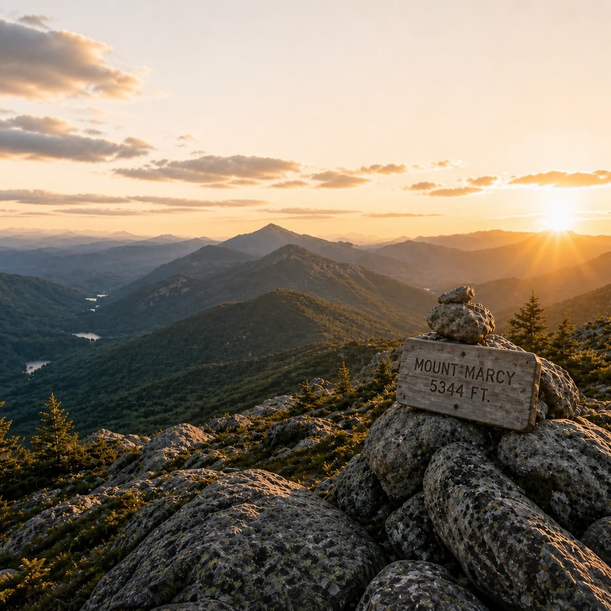
A complete planning guide: difficulty by peak, common combo days, seasonal realities, and a sortable, filterable table of every summit.
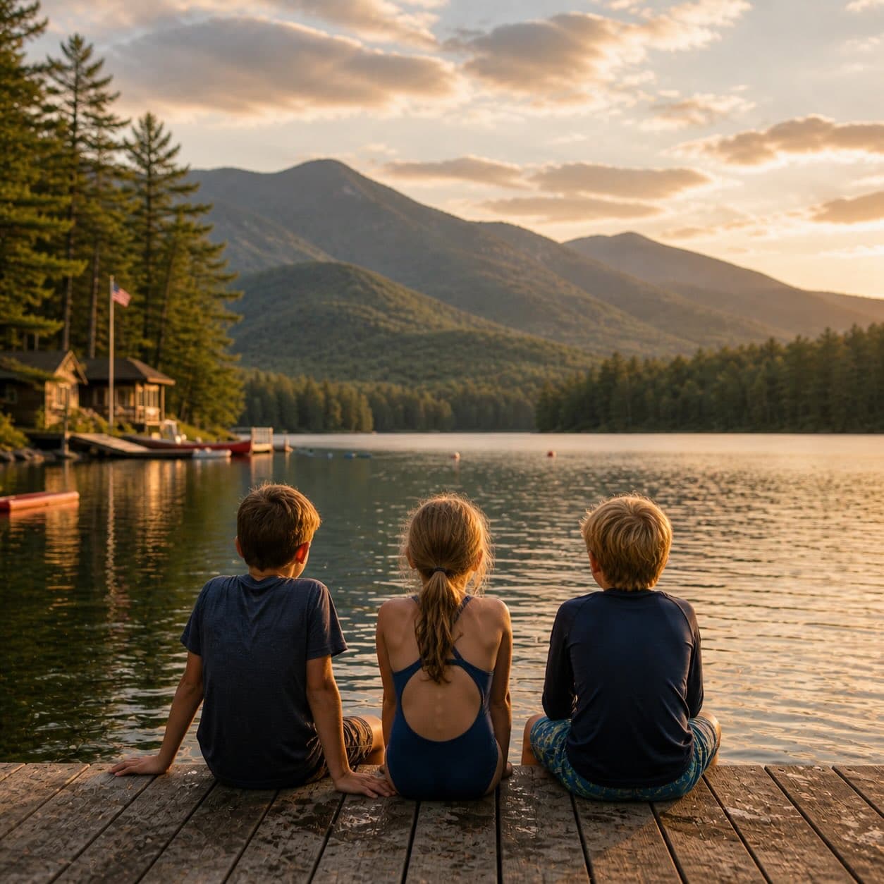
Overnight, day, and trip camps in the Park — the camp belt, choosing the right fit, costs and financial aid, ACA accreditation, and the questions every parent should ask before they commit.