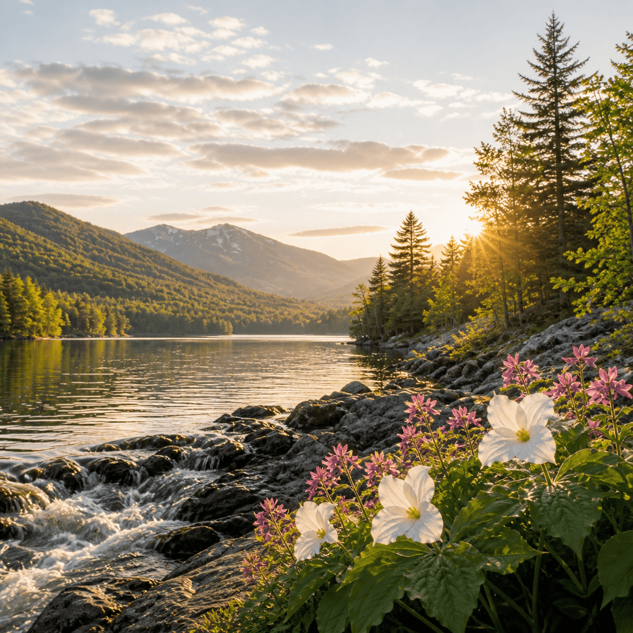
Lake Kushaqua spreads across 534 acres in the northern Adirondacks just west of Saranac Lake village — big enough for serious paddling, quiet enough that it still feels local. The lake sits in mixed-use territory: private shoreline, seasonal camps, and a state boat launch that puts flatwater explorers within reach of Rainbow Lake (north) and the Saint Regis Canoe Area via a short portage network. No fish species data on file, but northern pike and bass are the usual suspects in these low-elevation Saranac waters. Launch access via Kushaqua-Mud Pond Road off NY-30.
Closest parking lots within range, ranked by walking distance. Accessibility flags come from Google verified-data; surface and capacity from OpenStreetMap. Confirm hours and seasonal closures before you go.
+1 more on the map above
From the people who’ve been here, plus what Google has on file.
Free, takes thirty seconds. Yours forever.
Every page on this site gets better when readers contribute. Mark a peak you’ve climbed, drop a photo, file a field note, or flag a correction — every addition makes the next visitor’s page better.
Sunrise on the dock, a cairn at the summit, a bend on the trail. Your camera roll, our archive.
Add a photo →Trail conditions, water level, bug pressure, blowdown. The kind of detail that helps the next person plan.
Write a field note →Wrong elevation, outdated access notes, a coordinate that's drifted. We'd rather hear it than miss it.
Suggest an edit →
What to do, where to stay, and what's reopening across the Park as the snow melts and the calendar fills.
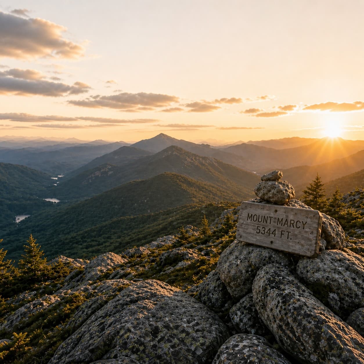
A complete planning guide: difficulty by peak, common combo days, seasonal realities, and a sortable, filterable table of every summit.
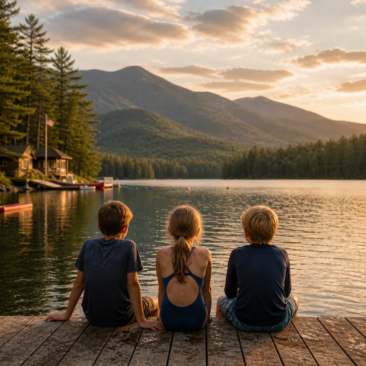
Overnight, day, and trip camps in the Park — the camp belt, choosing the right fit, costs and financial aid, ACA accreditation, and the questions every parent should ask before they commit.