Conglin Lakes sits in the Great Sacandaga Lake region — a 4-acre pond in country better known for its reservoir shoreline and seasonal camps than for backcountry access. No fish species on record and no mapped trail means this one stays quiet by default, likely landlocked behind private holdings or accessed only by those who already know the route in. The broader Sacandaga watershed is a patchwork of public and private land; without a clear DEC access point, Conglin Lakes remains more reference than destination. Worth checking the latest DEC land acquisition maps if you're prospecting for small water in this corner of the southern Adirondacks.
Closest parking lots within range, ranked by walking distance. Accessibility flags come from Google verified-data; surface and capacity from OpenStreetMap. Confirm hours and seasonal closures before you go.
+10 more on the map above
Free, takes thirty seconds. Yours forever.
Every page on this site gets better when readers contribute. Mark a peak you’ve climbed, drop a photo, file a field note, or flag a correction — every addition makes the next visitor’s page better.
Sunrise on the dock, a cairn at the summit, a bend on the trail. Your camera roll, our archive.
Add a photo →Trail conditions, water level, bug pressure, blowdown. The kind of detail that helps the next person plan.
Write a field note →Wrong elevation, outdated access notes, a coordinate that's drifted. We'd rather hear it than miss it.
Suggest an edit →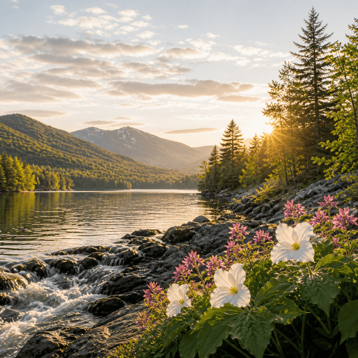
What to do, where to stay, and what's reopening across the Park as the snow melts and the calendar fills.
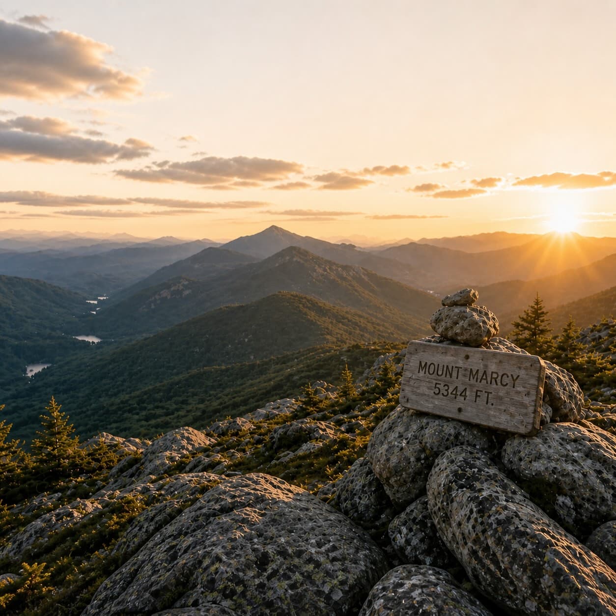
A complete planning guide: difficulty by peak, common combo days, seasonal realities, and a sortable, filterable table of every summit.
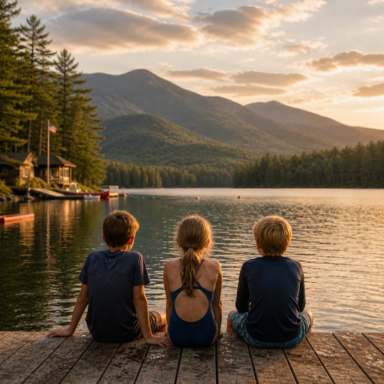
Overnight, day, and trip camps in the Park — the camp belt, choosing the right fit, costs and financial aid, ACA accreditation, and the questions every parent should ask before they commit.