Canada Lake anchors the southern edge of the Great Sacandaga region — 390 acres of quieter, residential water that sits apart from the reservoir's draw-down cycles and summer weekend traffic. The shoreline mixes private camps with public access points, and the lake itself holds a mid-depth profile that historically supported warm-water species, though current fish population data isn't on record. It's the kind of place that operates on a different tempo than the High Peaks corridor — less about trailhead logistics, more about launching a canoe mid-morning and drifting the perimeter. For lodging and supplies, the small hamlet of Canada Lake (same name) sits on the eastern shore.
No proprietor marinas listed within 7 mi yet.
No public beaches listed within 7 mi yet.
No bait & tackle shops listed yet.
Closest parking lots within range, ranked by walking distance. Accessibility flags come from Google verified-data; surface and capacity from OpenStreetMap. Confirm hours and seasonal closures before you go.
+4 more on the map above
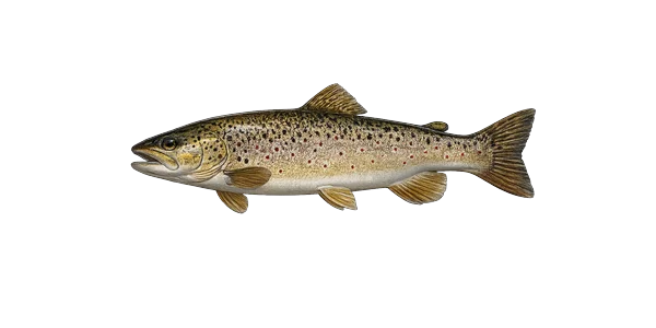 Brown TroutSalmo truttaStocked
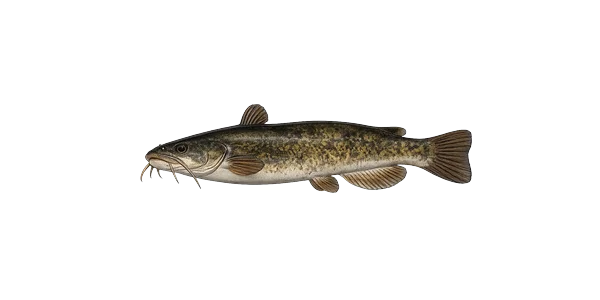 Brown BullheadAmeiurus nebulosusNative
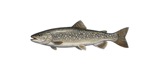 Lake TroutSalvelinus namaycushNative
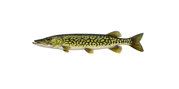 Chain PickerelEsox nigerNative
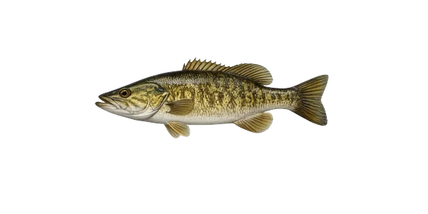 Smallmouth BassMicropterus dolomieuStocked
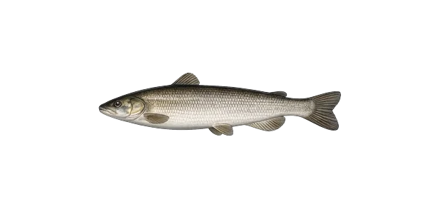 Lake WhitefishCoregonus clupeaformisNative
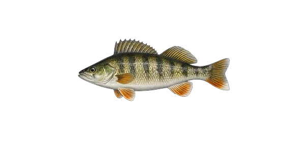 Yellow PerchPerca flavescensNativePumpkinseed
Source: NYS DEC Stocking Records via data.ny.gov · Annual refresh
From the people who’ve been here, plus what Google has on file.
Free, takes thirty seconds. Yours forever.
Every page on this site gets better when readers contribute. Mark a peak you’ve climbed, drop a photo, file a field note, or flag a correction — every addition makes the next visitor’s page better.
Sunrise on the dock, a cairn at the summit, a bend on the trail. Your camera roll, our archive.
Add a photo →Trail conditions, water level, bug pressure, blowdown. The kind of detail that helps the next person plan.
Write a field note →Wrong elevation, outdated access notes, a coordinate that's drifted. We'd rather hear it than miss it.
Suggest an edit →
What to do, where to stay, and what's reopening across the Park as the snow melts and the calendar fills.

A complete planning guide: difficulty by peak, common combo days, seasonal realities, and a sortable, filterable table of every summit.

Overnight, day, and trip camps in the Park — the camp belt, choosing the right fit, costs and financial aid, ACA accreditation, and the questions every parent should ask before they commit.