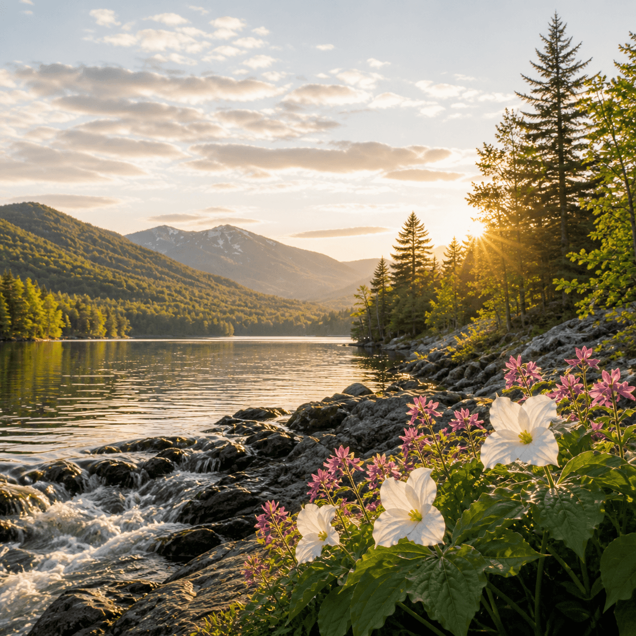
Black Mountain Ponds — a small cluster of waters south of Indian Lake village — sit in the transition zone between the central Adirondacks and the lower-elevation mixed forest that defines the southern edge of the park. At four acres, this is backcountry stillwater rather than destination paddling: expect wetland margins, shallow basins, and the kind of quiet that comes from being off the main corridor. No fish data on record, no maintained trails flagged on the DEC inventory — which means this is either a bushwhack objective or accessible via an unmarked woods road that only gets traffic during hunting season. If you're looking for solitude and can navigate by topo, it's here.
Closest parking lots within range, ranked by walking distance. Accessibility flags come from Google verified-data; surface and capacity from OpenStreetMap. Confirm hours and seasonal closures before you go.
+16 more on the map above
Free, takes thirty seconds. Yours forever.
Every page on this site gets better when readers contribute. Mark a peak you’ve climbed, drop a photo, file a field note, or flag a correction — every addition makes the next visitor’s page better.
Sunrise on the dock, a cairn at the summit, a bend on the trail. Your camera roll, our archive.
Add a photo →Trail conditions, water level, bug pressure, blowdown. The kind of detail that helps the next person plan.
Write a field note →Wrong elevation, outdated access notes, a coordinate that's drifted. We'd rather hear it than miss it.
Suggest an edit →

What to do, where to stay, and what's reopening across the Park as the snow melts and the calendar fills.
A complete planning guide: difficulty by peak, common combo days, seasonal realities, and a sortable, filterable table of every summit.
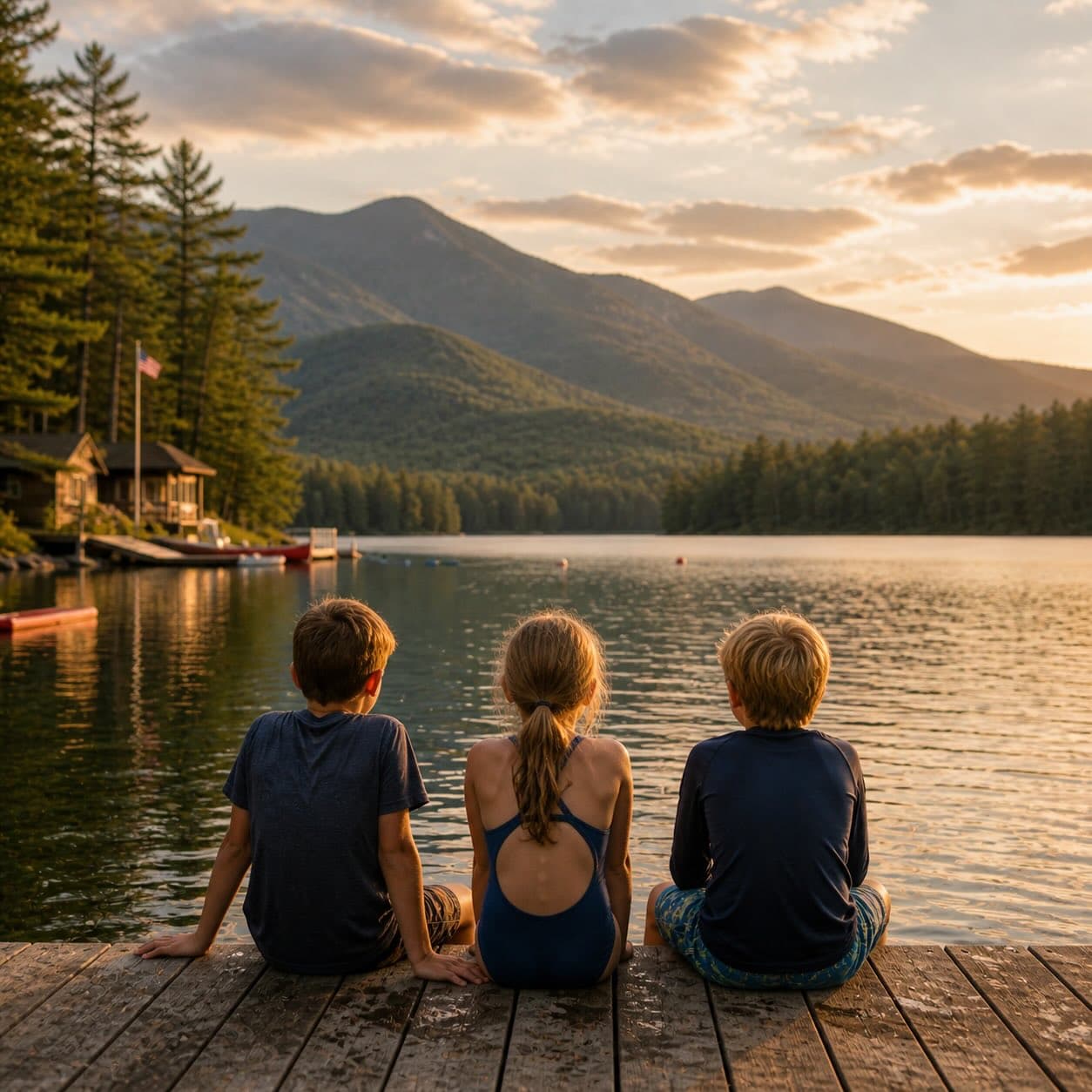
Overnight, day, and trip camps in the Park — the camp belt, choosing the right fit, costs and financial aid, ACA accreditation, and the questions every parent should ask before they commit.